
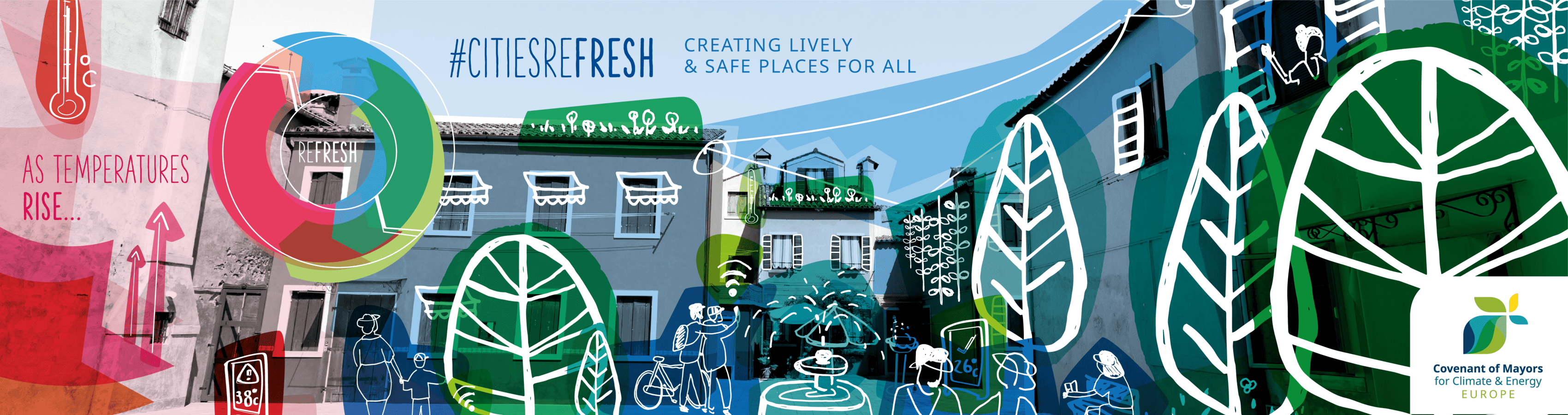
Project overview
Development of municipal strategies and action plans to improve heat resilience in cities
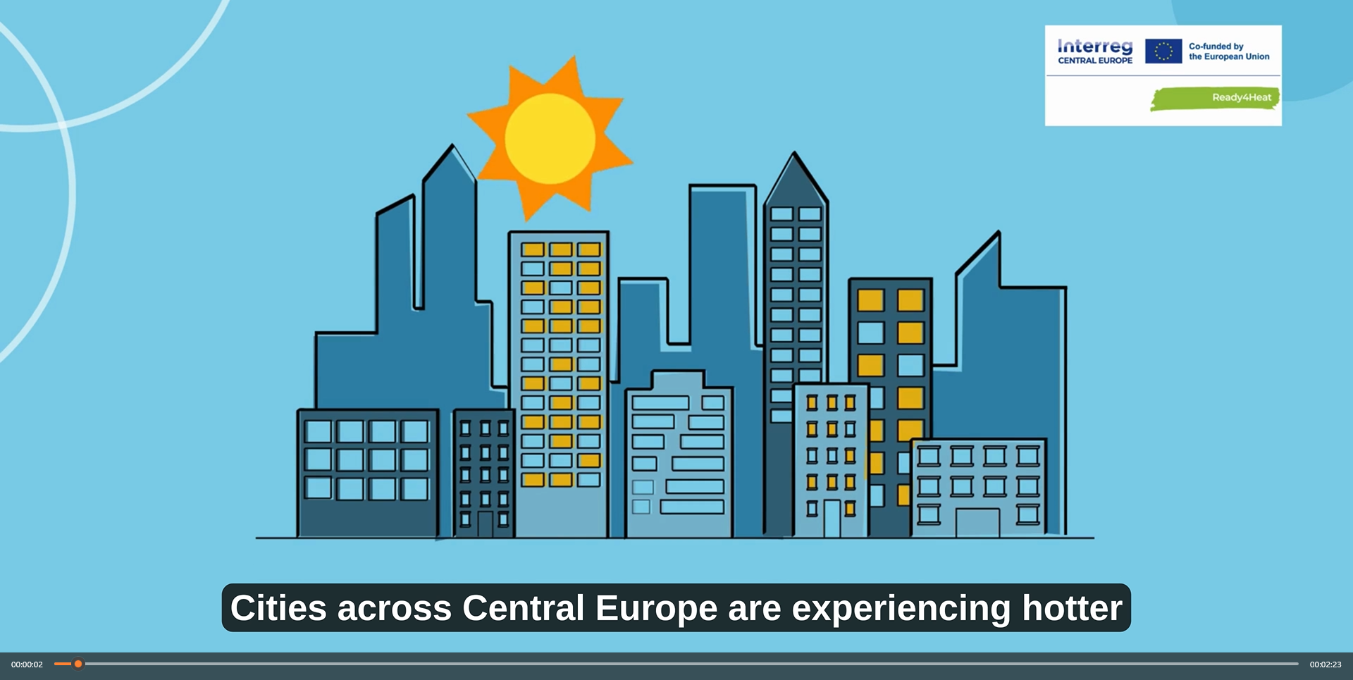
Global warming comes with more frequent and intense heat waves. Cities in central Europe need to adapt but many still lack efficient strategies and action plans to protect their citizens from heat. The Ready4Heat project helped them to introduce tested short-, medium- and long-term measures with a focus on the most urgent issue: sudden heat waves. The project made proven and tested measures such as heat warning systems accessible to all cities and helped them to adopt these quickly.
-
2,04m €
-
Project Budget
-
80%
-
of the Budget is funded by ERDF
-
4
-
Countries
-
6
-
Regions
-
9
-
Partners
-
4
-
Pilots
Duration
Start date
End date
Project progress
About the project
Project partnership
Project partners

Lead partner
Development agency Sinergija
Project partner
Adaptation to climate change
60486 Frankfurt am Main
Climate protection and adaptation to climate change
Location development Weiz
Roadmap
The challenge: Heat waves in urban areas

Global warming has made heat waves more frequent and more intense. Cities in Central Europe need to adapt, but many still lack effective strategies and action plans to protect people from extreme heat. Ready4Heat supported four cities in developing local heat-health action plans and testing practical solutions for heat resilience.
Creating a strategic action plan

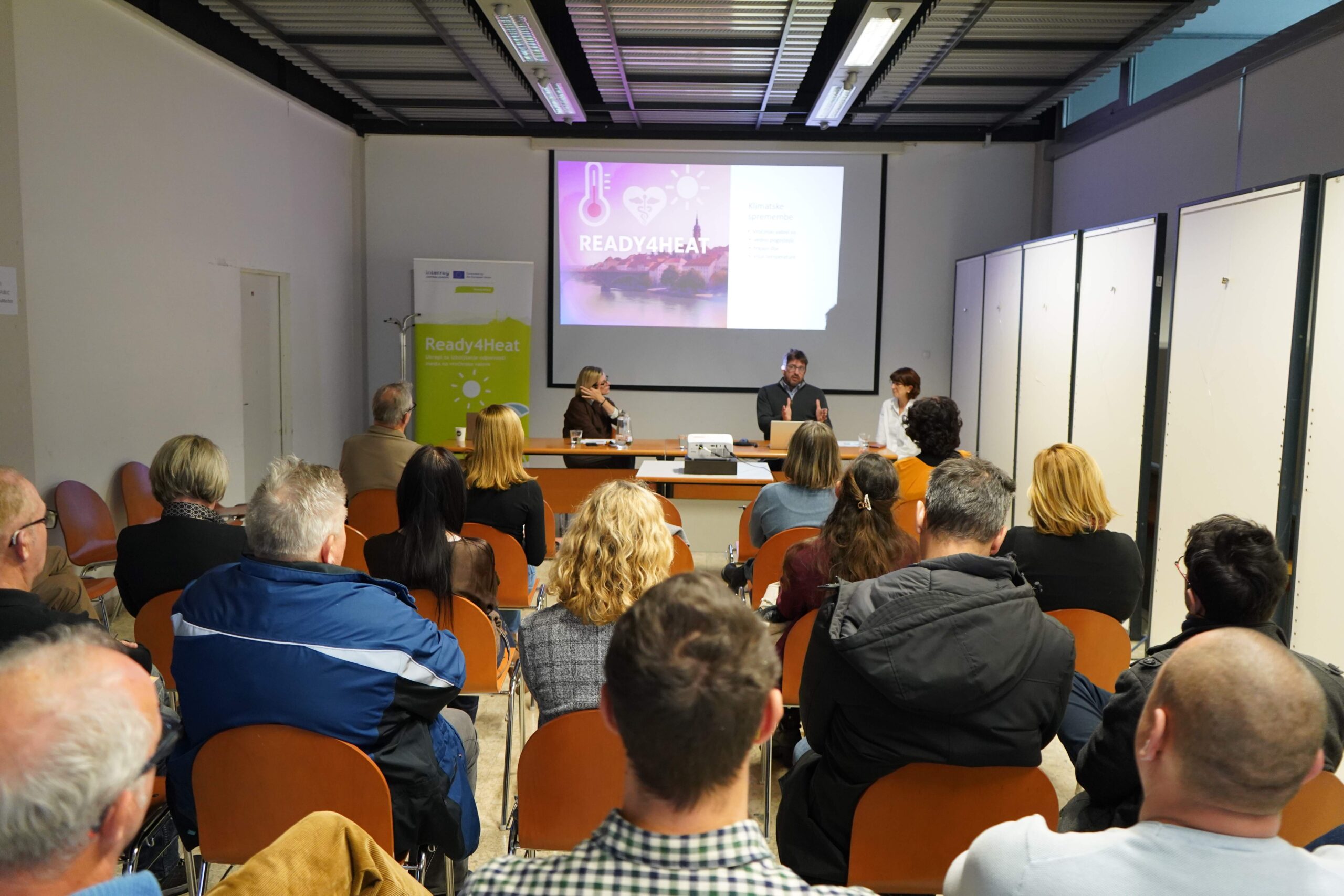
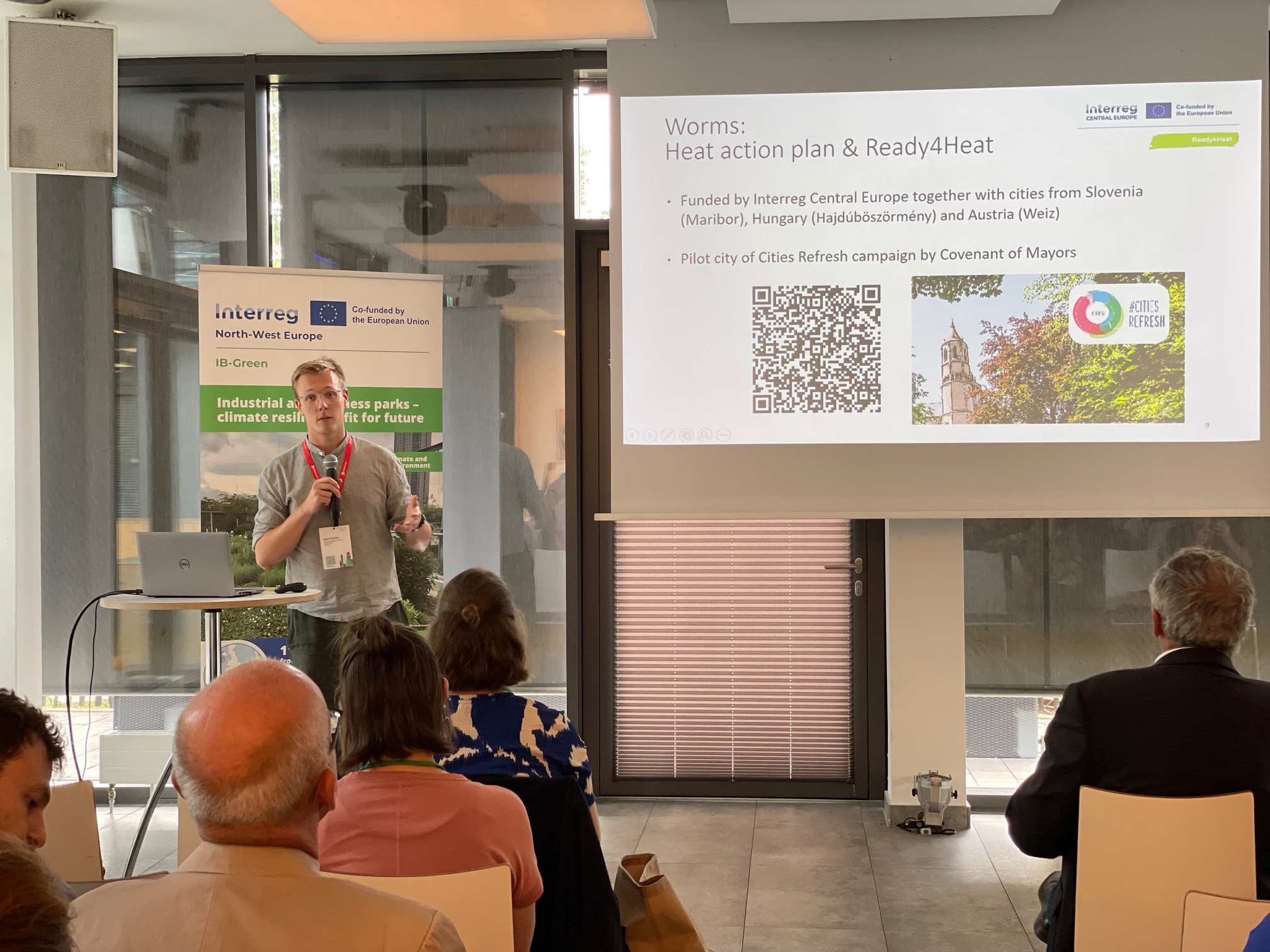
This strategy paper presents the lessons learned from developing the heat action plan in Worms. It highlights the importance of local structures, stakeholder involvement, sufficient resources and clear responsibilities when developing a Heat Action Plan. The paper offered strong basis for the other pilot cities, Weiz, Maribor and Hajdúböszörmény, and can be used by other municipalities in the future to develop their own plans.
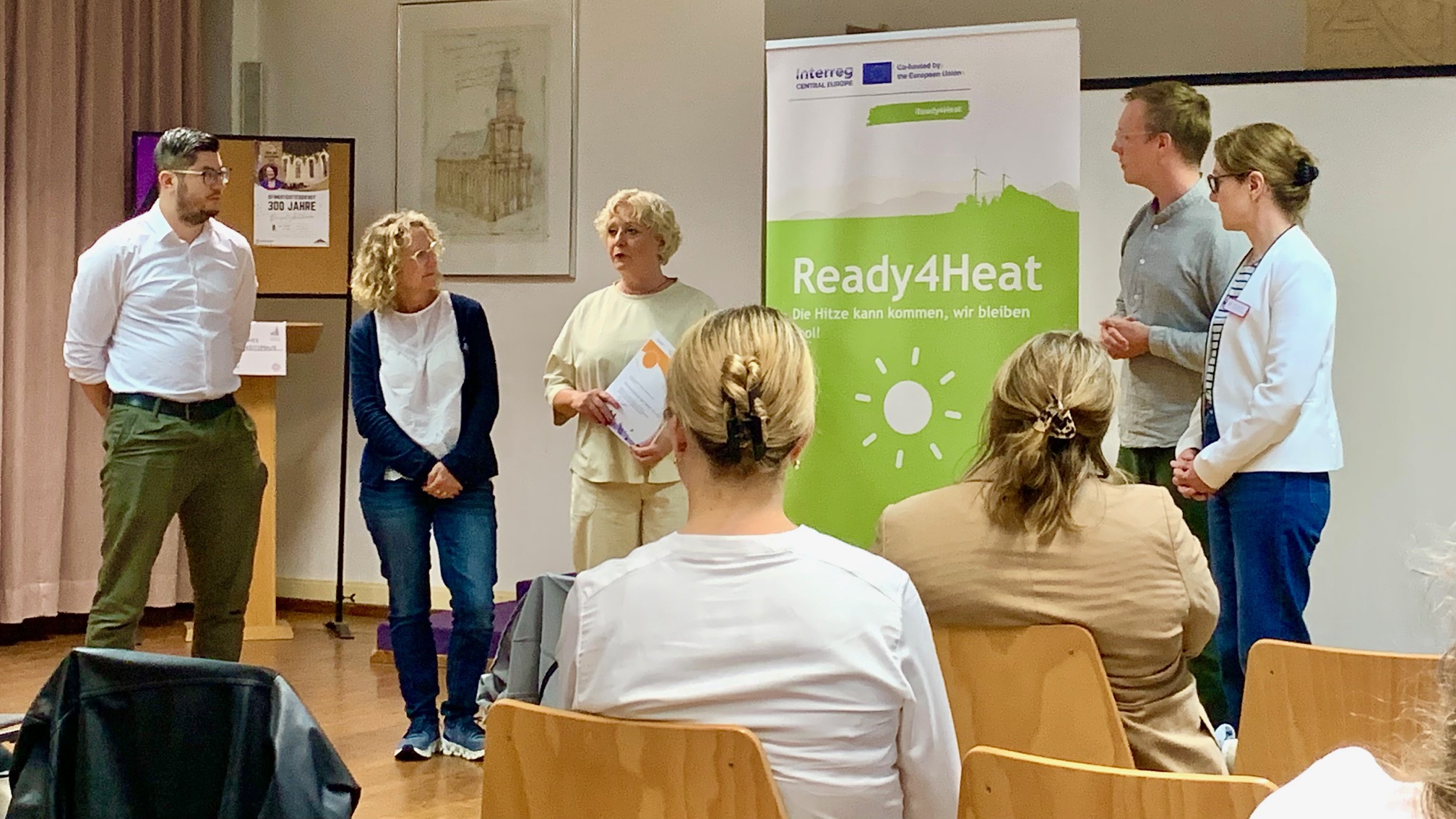
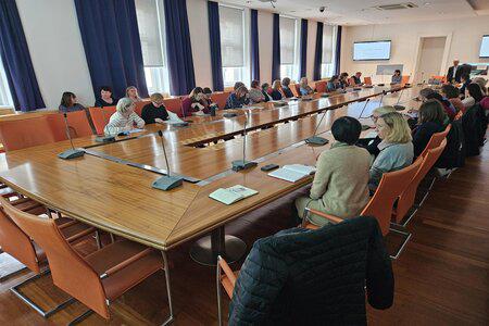
Train-the-trainers workshops

The Train-the-Trainers workshops transferred knowledge from Worms to the other pilot cities and supported the development of effective local Heat Action Plans. The workshops helped cities adapt the project’s experience to their own local context and strengthen cooperation across the partnership.
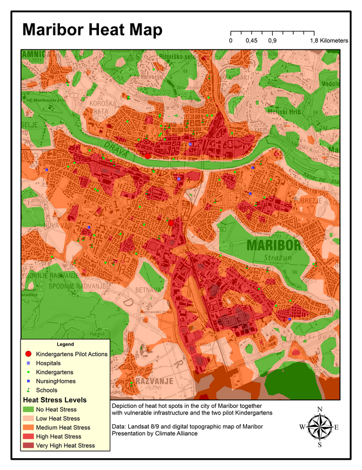
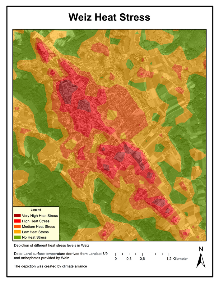
Heat maps and climate analysis
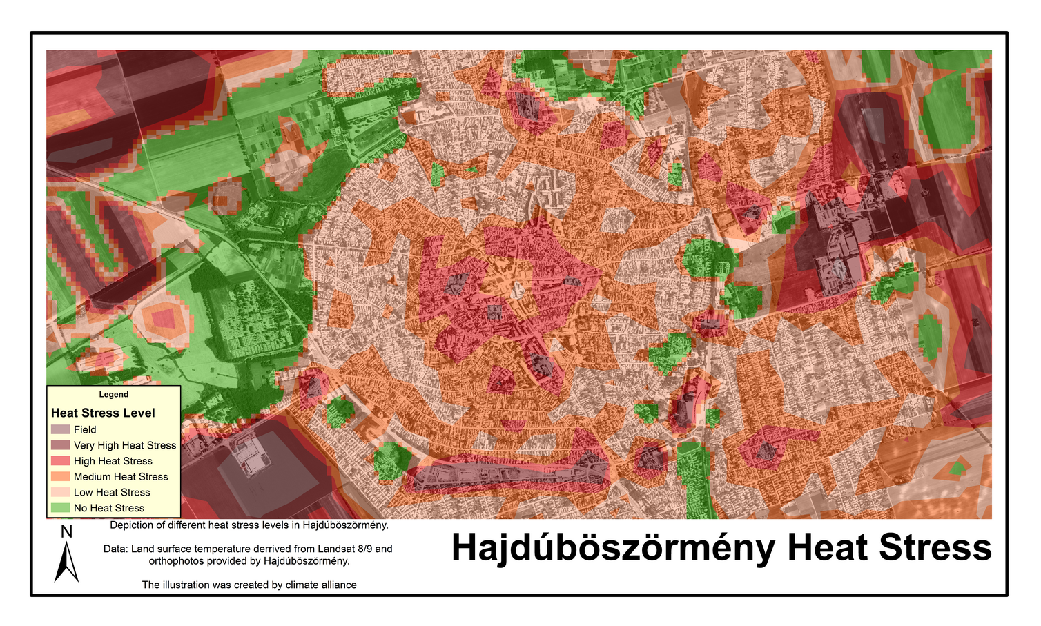
To design targeted heat adaptation measures, the pilot cities first identified their heat hotspots. Satellite-based heat mapping was used to analyse temperature patterns and locate vulnerable infrastructure and population groups. A climate ensemble was also developed to show how heat days and tropical nights may change in the coming decades. The results are available under Outputs.
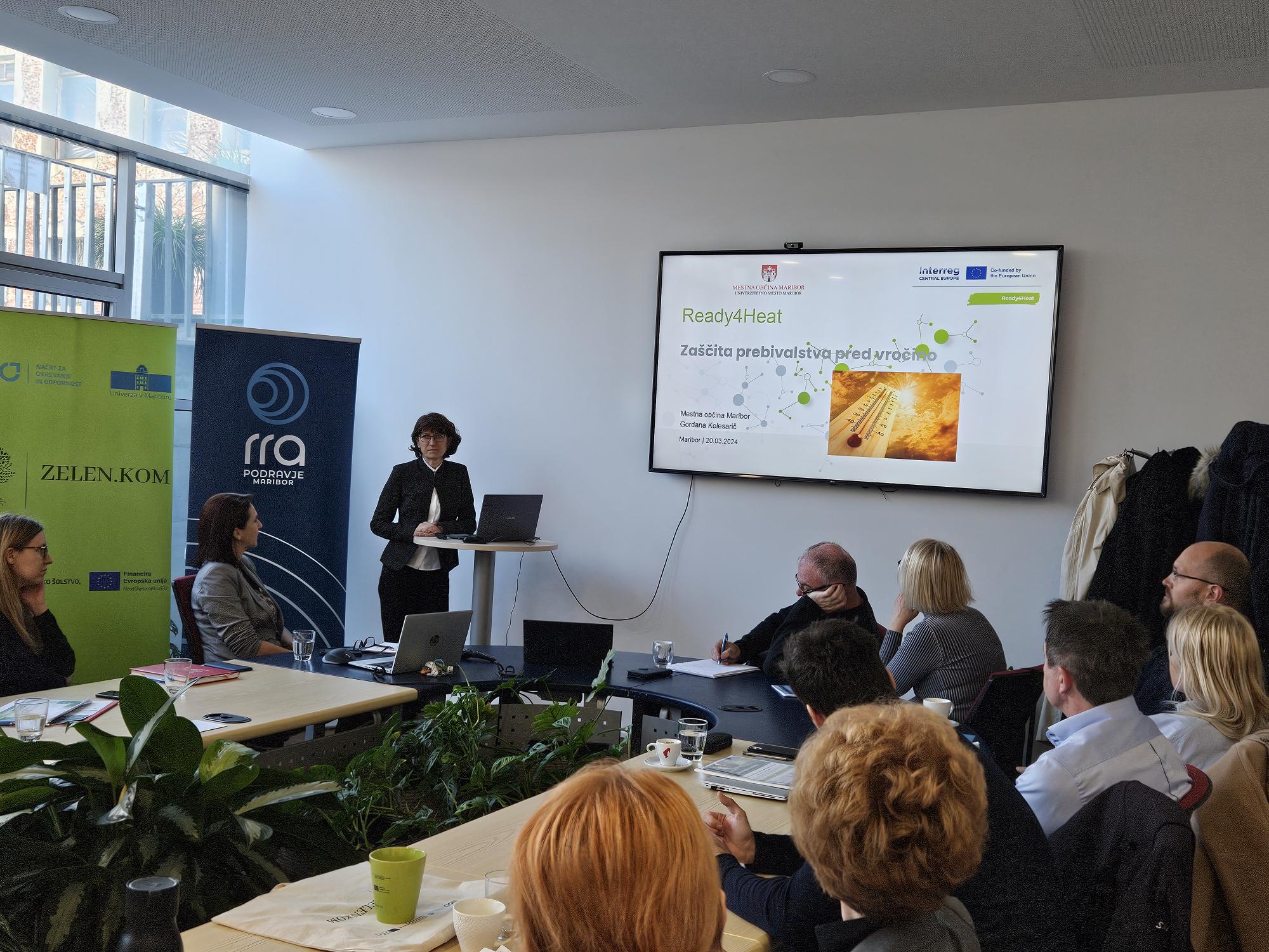
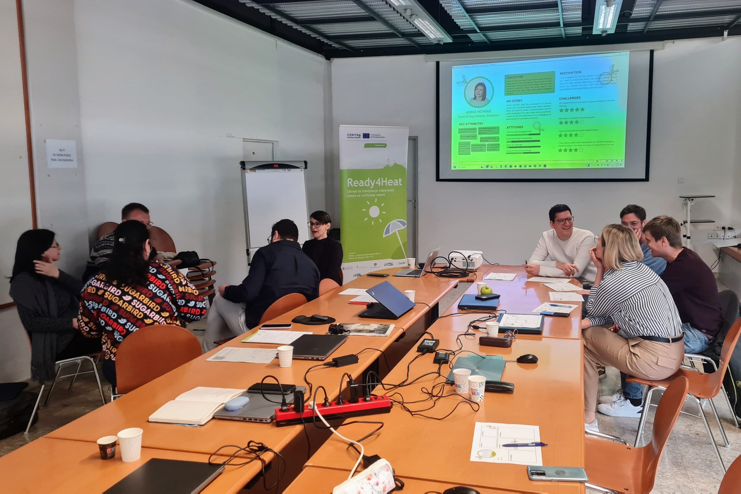
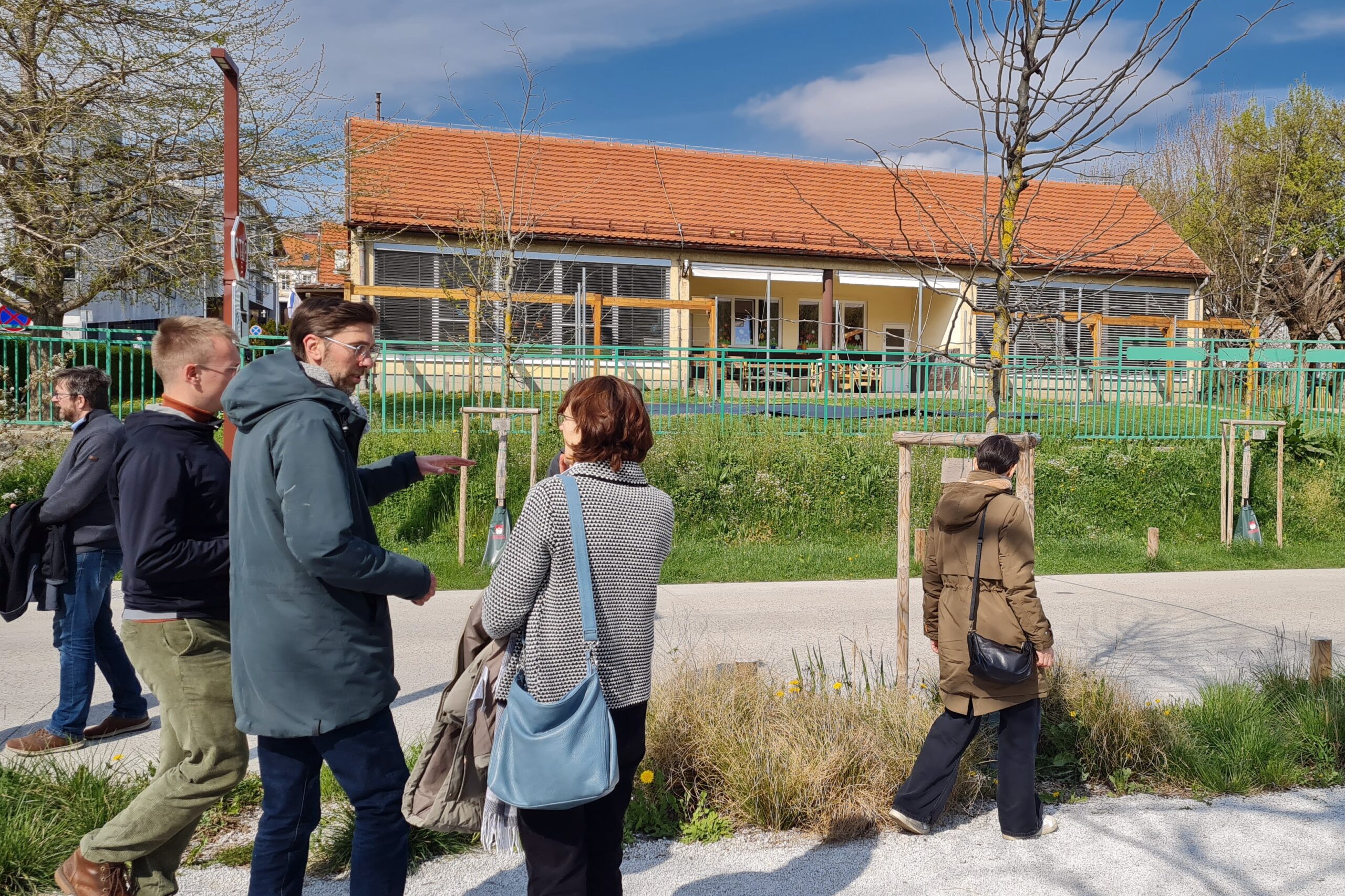
Stakeholder participation in the pilot cities
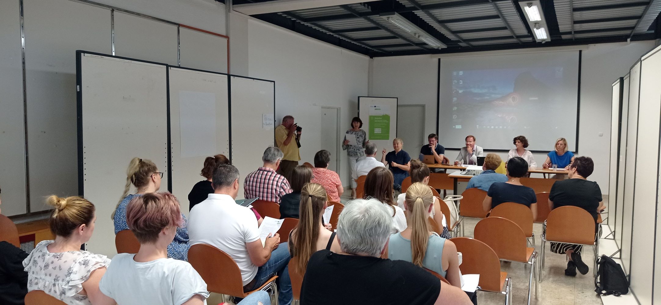
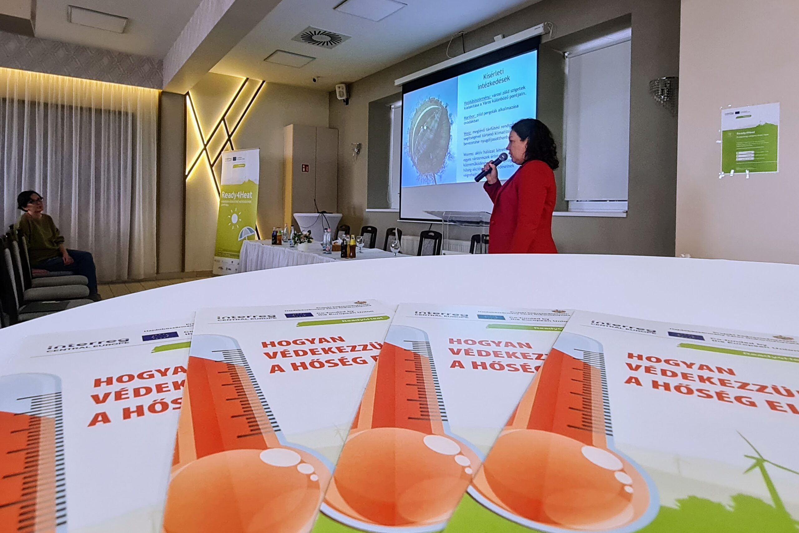
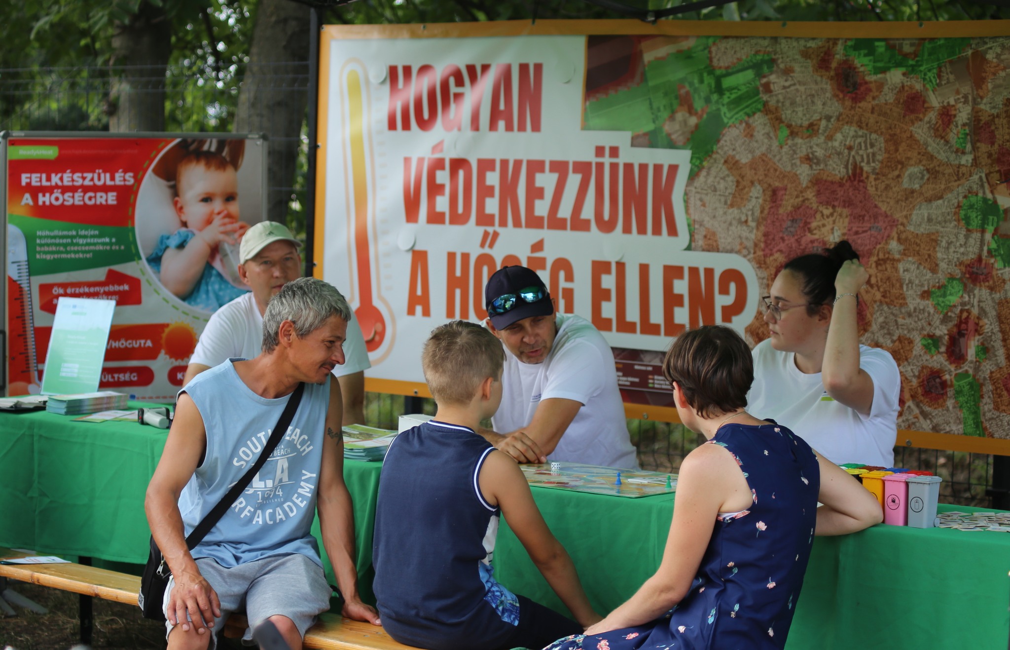
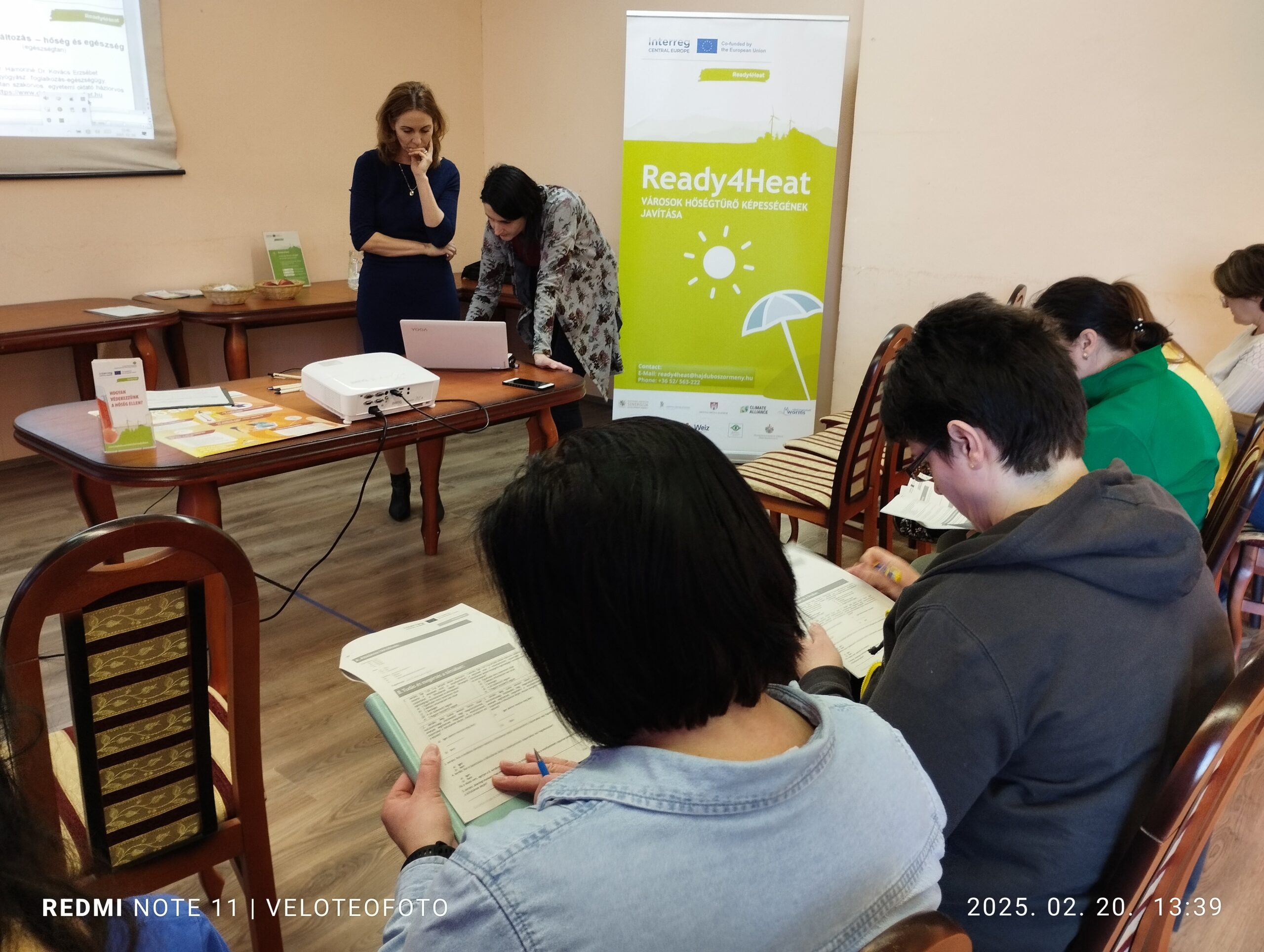
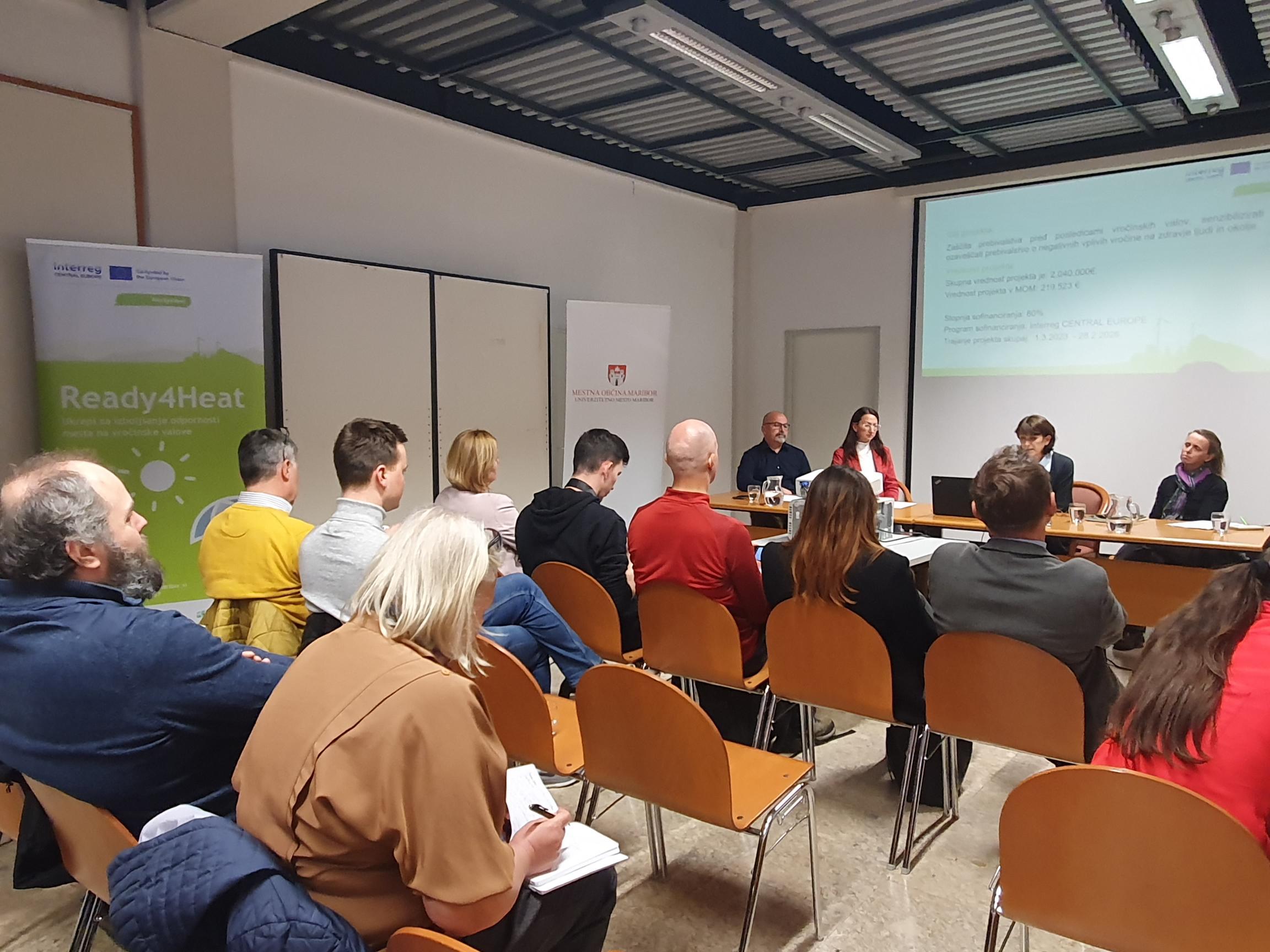
Citizen and stakeholder engagement played a central role in the project. Hajdúböszörmény, Maribor and Weiz carried out engagement processes that began with kick-off events in summer 2023 and continued with workshops in late 2023 and early 2024. These exchanges helped the cities shape measures that responded to local needs.
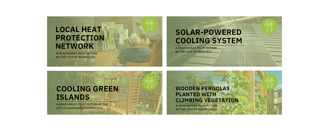
Implementing pilot actions
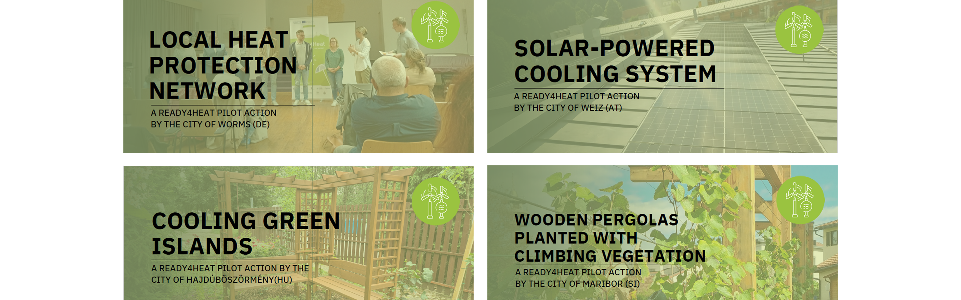
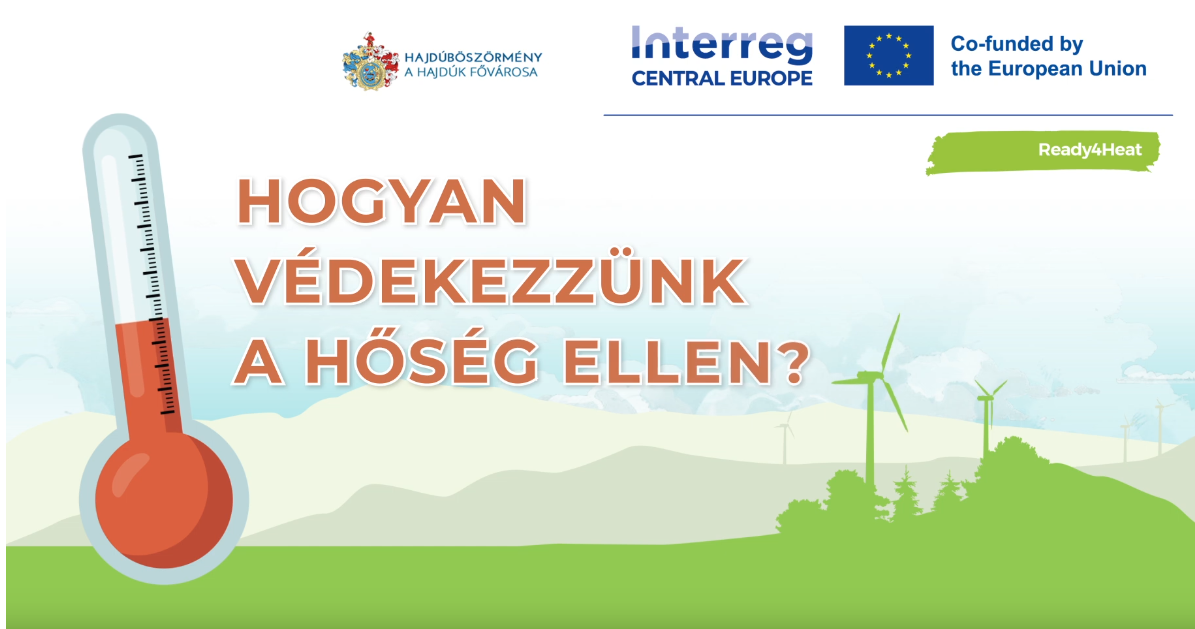
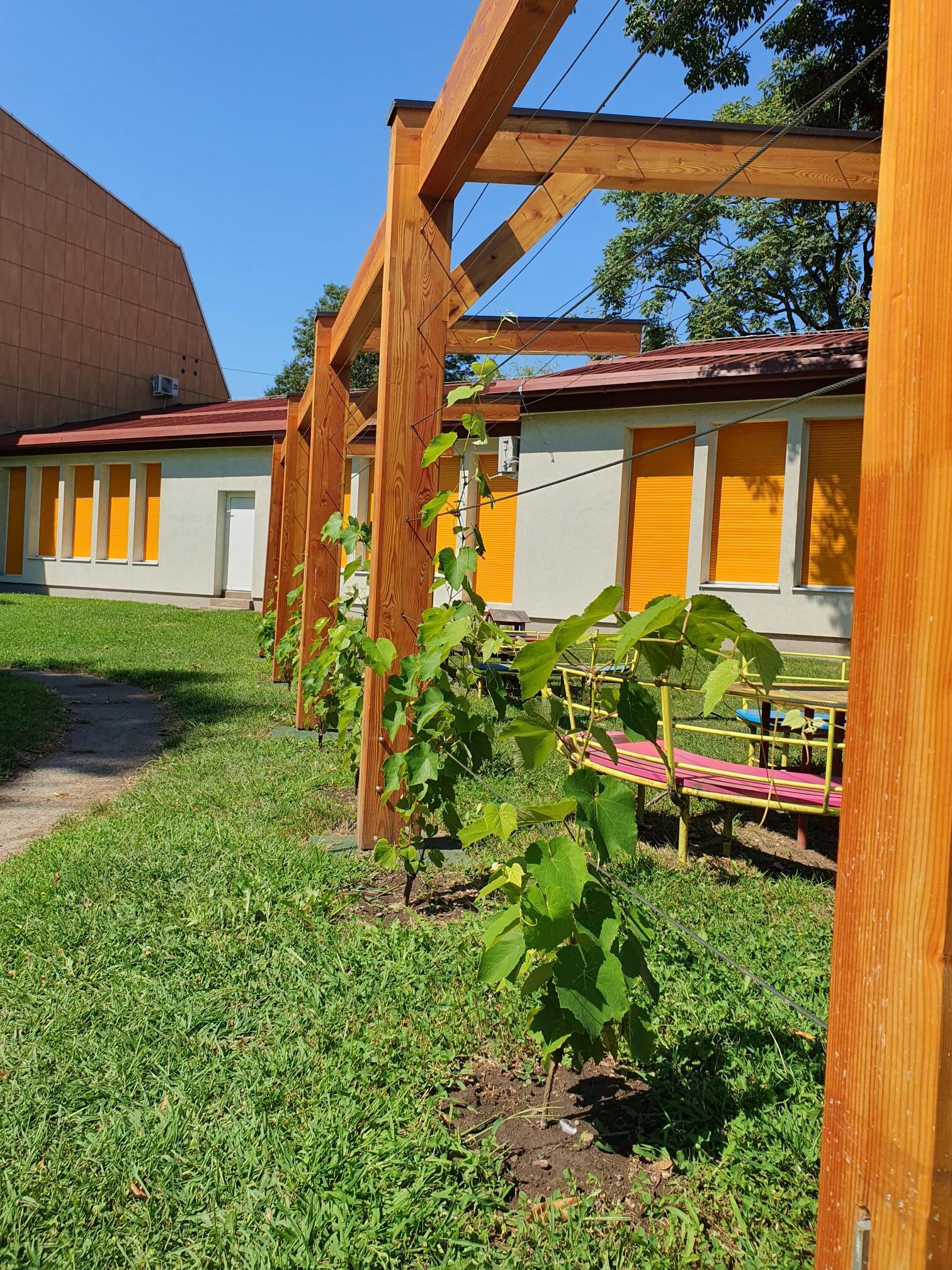
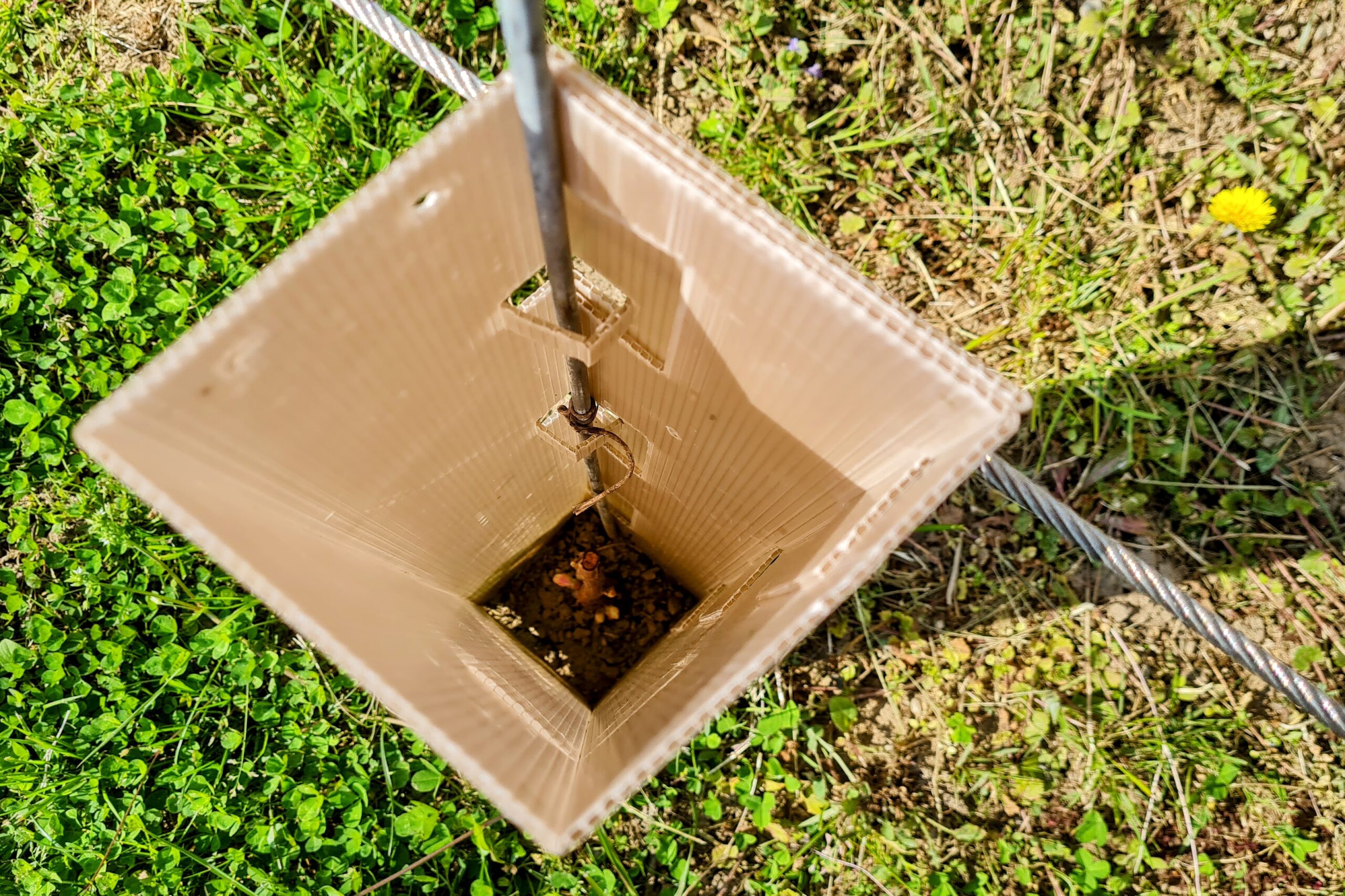
The cities of Hajdúböszörmény, Maribor, Weiz and Worms tested practical measures to reduce heat stress and improve health protection. The pilot actions demonstrated transferable solutions such as green islands, vegetated pergolas, renewable cooling and long-term heat protection structures. The related results and lessons learned are documented in the Outputs section and in the pilot action materials.
Developing heat-health actions plans

Based on citizen engagement and the strategy and action plan concept, Hajdúböszörmény, Maribor and Weiz developed local heat-health action plans. These plans include tools such as warning systems, steering groups and catalogues of measures, and they were adopted by the city councils to secure long-term impact.
Advanced trainings
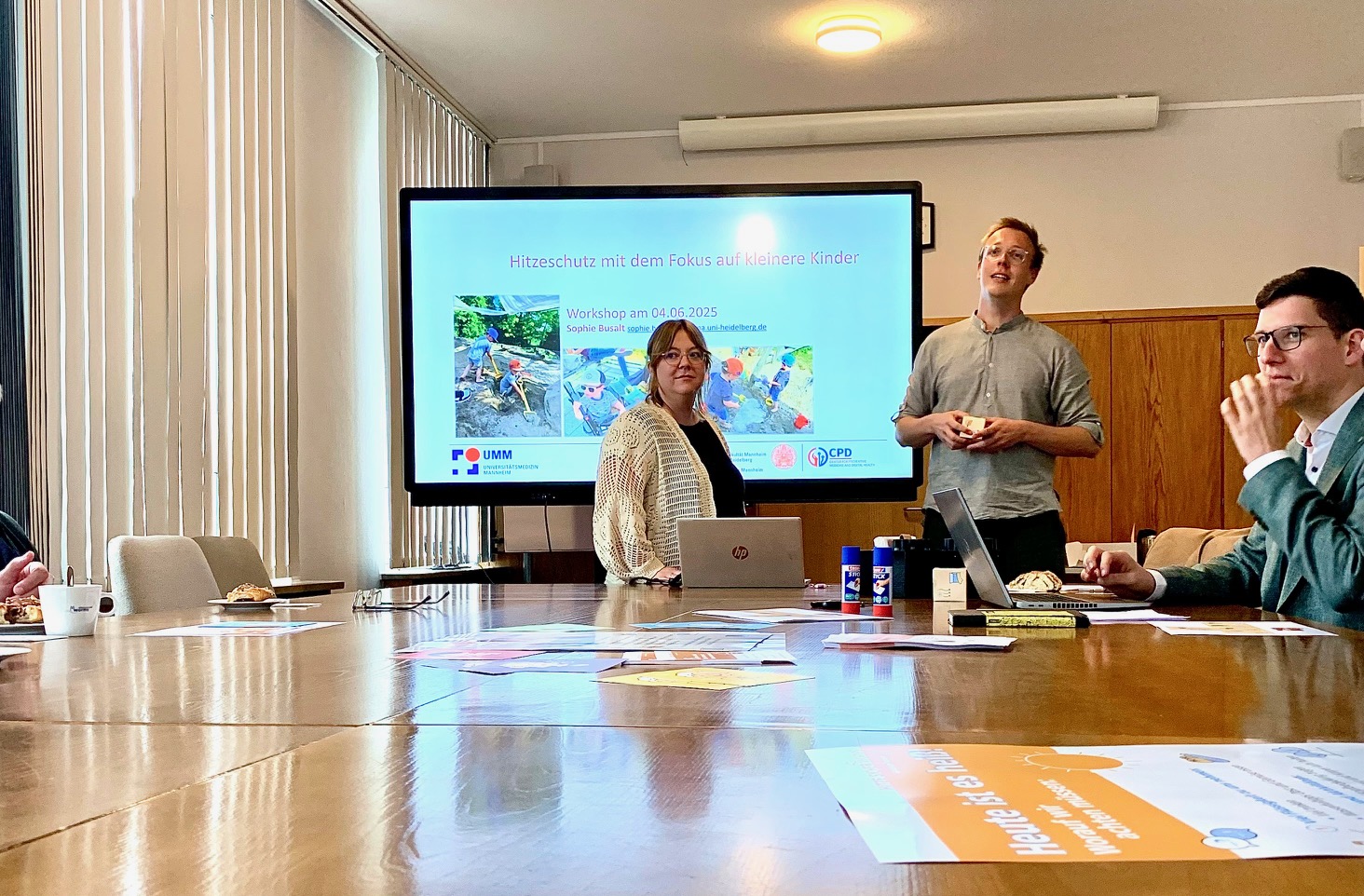
Online trainings were organised in each pilot city for multipliers working with vulnerable groups. These sessions supported the practical implementation of heat protection measures and strengthened local capacity.
Transferring the results
Ready4Heat shared its experience through policy briefs and transnational webinars. These materials present tested solutions and practical recommendations for municipalities that want to improve heat adaptation planning and move from pilot actions to long-term strategies.
Policy briefs transfer results from Austria, Germany, Hungary and Slovenia
The four policy briefs present concrete, evaluated solutions for improving heat protection measures. Based on the Ready4Heat pilot actions in Weiz, Maribor, Hajdúböszörmény and Worms, they translate local experience into recommendations that other municipalities can use and adapt.


Events


Pilot actions
Outputs
Municipal heat strategies and action plans for the mitigation of heat waves
Local Heat Strategies and Action Plans
Three local heat strategies and action plans for the cities of Hajdúböszörmény, Maribor, and Weiz have been developed. Each document covers a strategic and structural part, as well as an action plan with concrete measures to improve the situation caused by heat waves.
The development of the plans was based on a stakeholder participation process, as well as discussions within the project's co-working groups. A heat and climate analysis of the pilot cities' areas, along with a strategy and action plan concept, supported the output development. This concept outlines the development and implementation process of a heat-health action plan (HHAP) and reflects the experiences made by the city of Worms.
The strategy and action plan concept is useful for all municipalities embarking on the journey of designing their own HHAPs as part of their climate adaptation strategies. The blueprint for an HHAP is based on a German project where the city of Worms designed its plan in cooperation with the University of Applied Sciences Fulda, the University Hospital Munich (LMU), Climate Alliance, and the Rhineland-Palatinate Competence Centre for Climate Change Impacts. This guideline describes the key steps Worms has taken, reflects on the process, and presents valuable lessons learned — providing a solid foundation for municipalities looking to strengthen their resilience against heat waves.
- Heat and climate analysis of the pilot cities areas
- Concept for strategy and action plan development
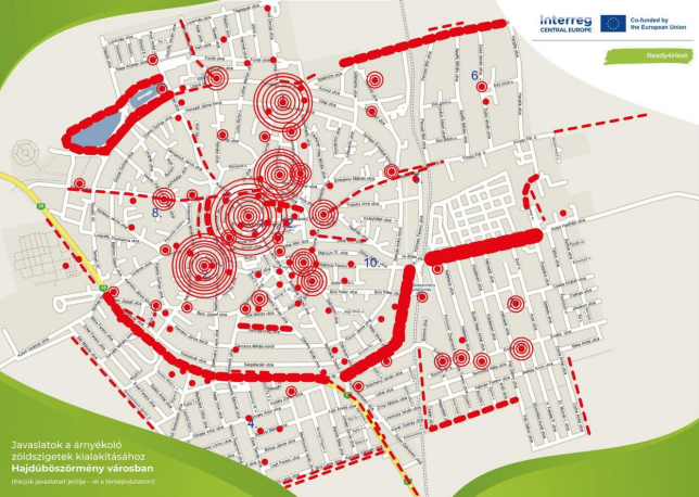
- Hajduboszormeny: Strategy and action plan summary ( in English)
- Hajduboszormeny: Strategy and action plan
- Weiz Strategy And Action Plan
- Weiz: Strategy and action plan summary (in English)
- Maribor: Strategy and action plan
- Maribor: Strategy and action plan summary (in English)
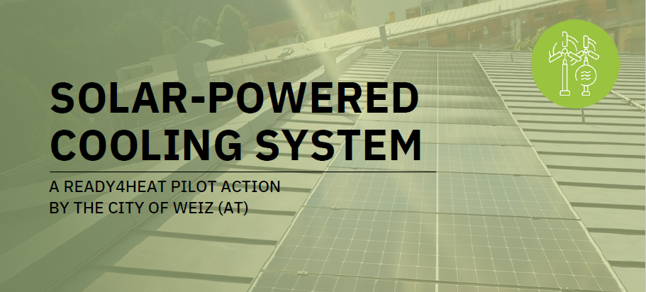
Austria: Renewable cooling for safe indoor environments in a municipal setting
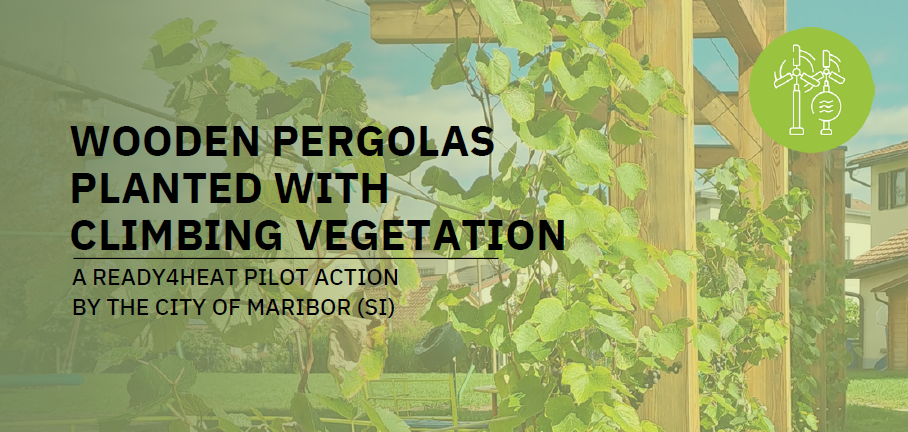
Slovenia: Nature-based shading in everyday public spaces to reduce heat stress
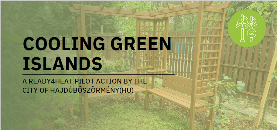
Hungary: Small-scale green islands with big impact

Germany: Heat protection as a public health and governance issue
Project videos
Project documents
Results of the Project: Final Webinar
Information Materials


Ready4Heat
The project lead partner is responsible for the content of this project website.