
Project overview
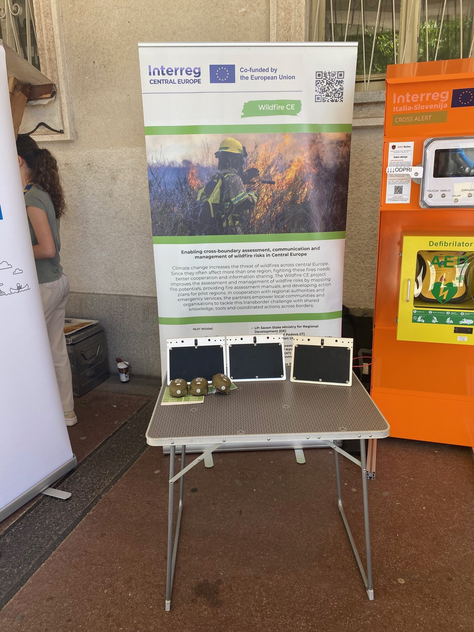
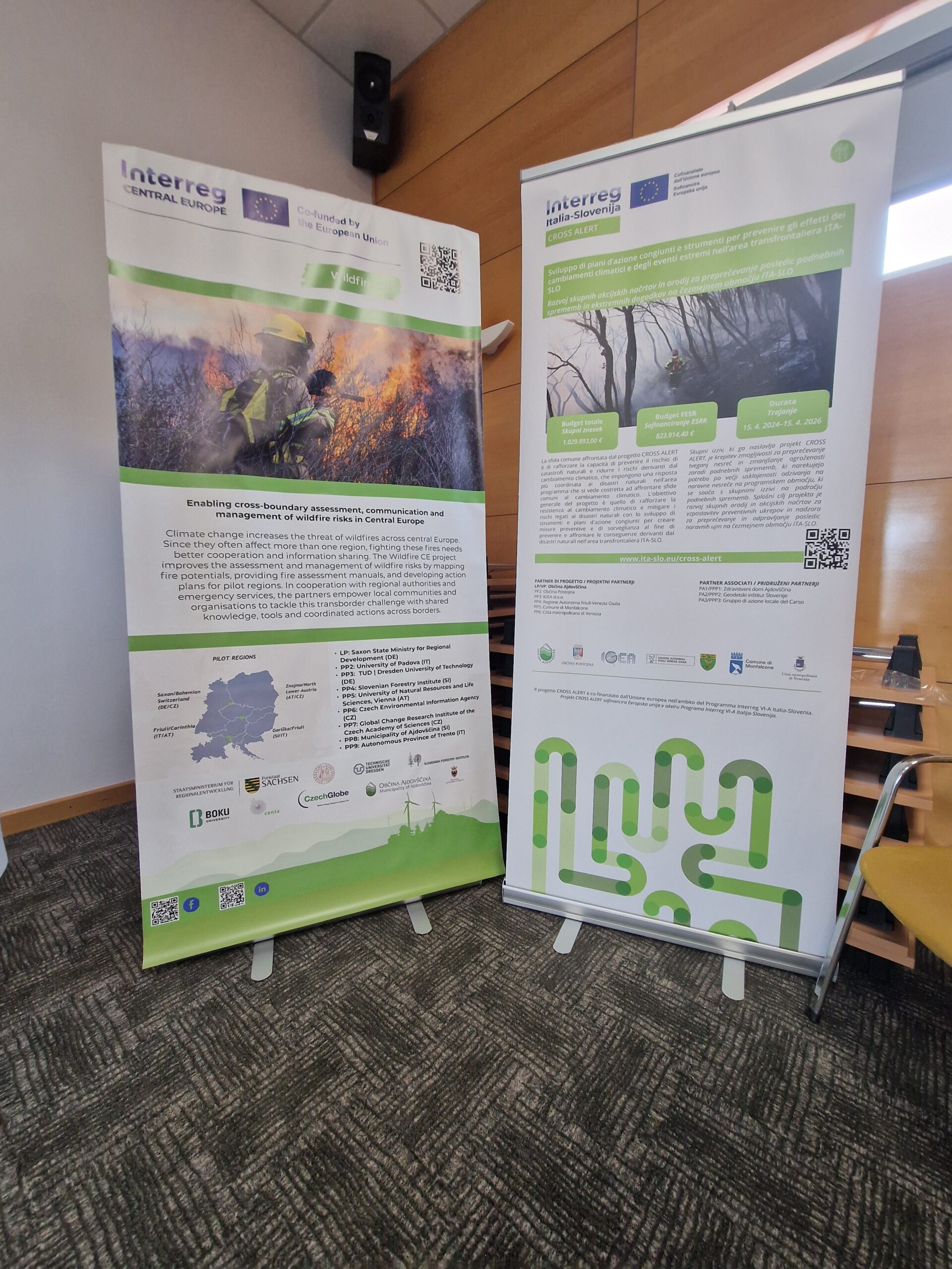
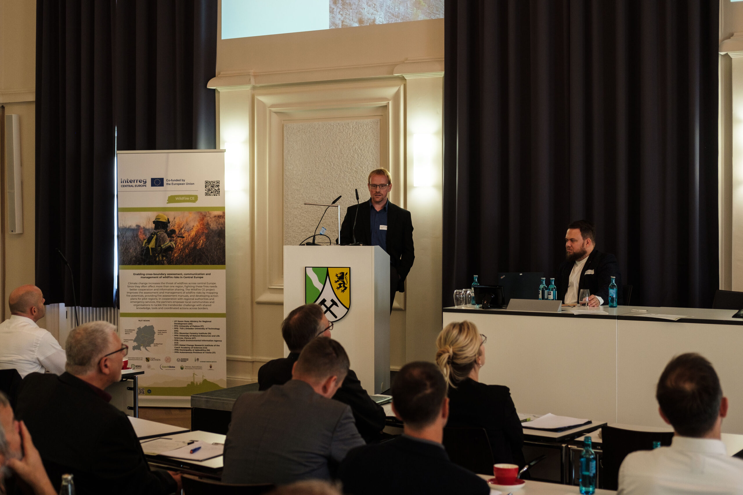
Enabling cross-boundary assessment, communication and management of wildfire risks in Central Europe
Climate change increases the threat of wildfires across central Europe. Since they often affect more than one region, fighting these fires needs better cooperation and information sharing. The Wildfire CE project improves the assessment and management of wildfire risks by mapping fire potentials, providing fire assessment manuals, and developing action plans for pilot regions. In cooperation with regional authorities and emergency services, the partners empower local communities and organisations to tackle this transborder challenge with shared knowledge, tools and coordinated actions across borders.
-
2,25m €
-
Project Budget
-
80%
-
of the Budget is funded by ERDF
-
5
-
Countries
-
7
-
Regions
-
9
-
Partners
-
1
-
Pilots
Duration
Start date
End date
Project progress
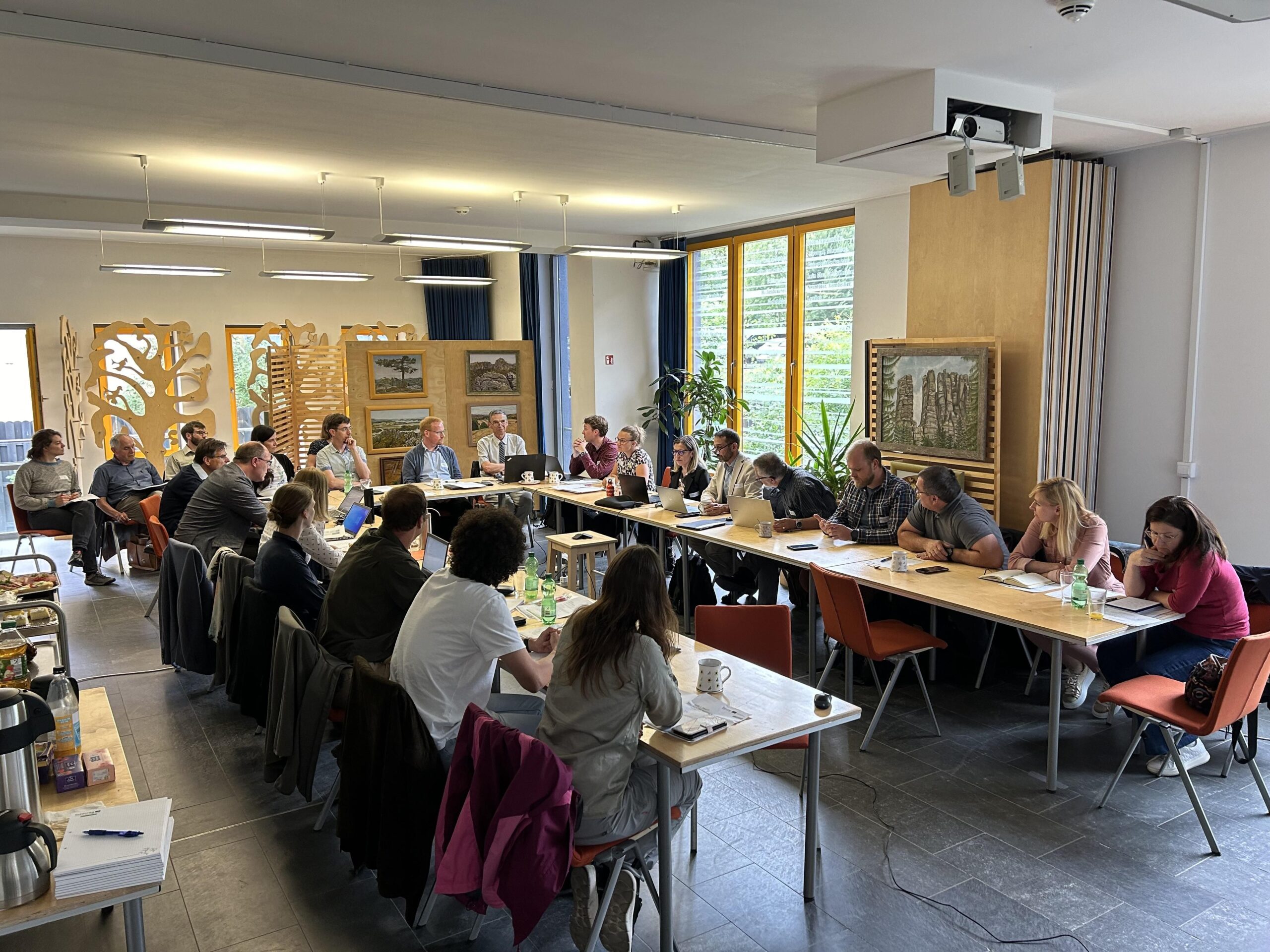
Project partnership
Project partners

Lead partner
Saxon State Ministry for Regional Development
European Spatial Planning, Regional Development
Project partner
Department of Land, Environment, Agriculture and Forestry
Faculty of Environmental Sciences - Junior Professorship in Environmental Remote Sensing
1000 Ljubljana
Department of Forest- and Soil Sciences, Institute of Silviculture
Unit of Geoinformatics
Domain of Climate Analysis and Modelling
Department for Economics and Development
Dipartimento protezione civile, foreste e fauna / Servizio Foreste
38122 Trento
Roadmap
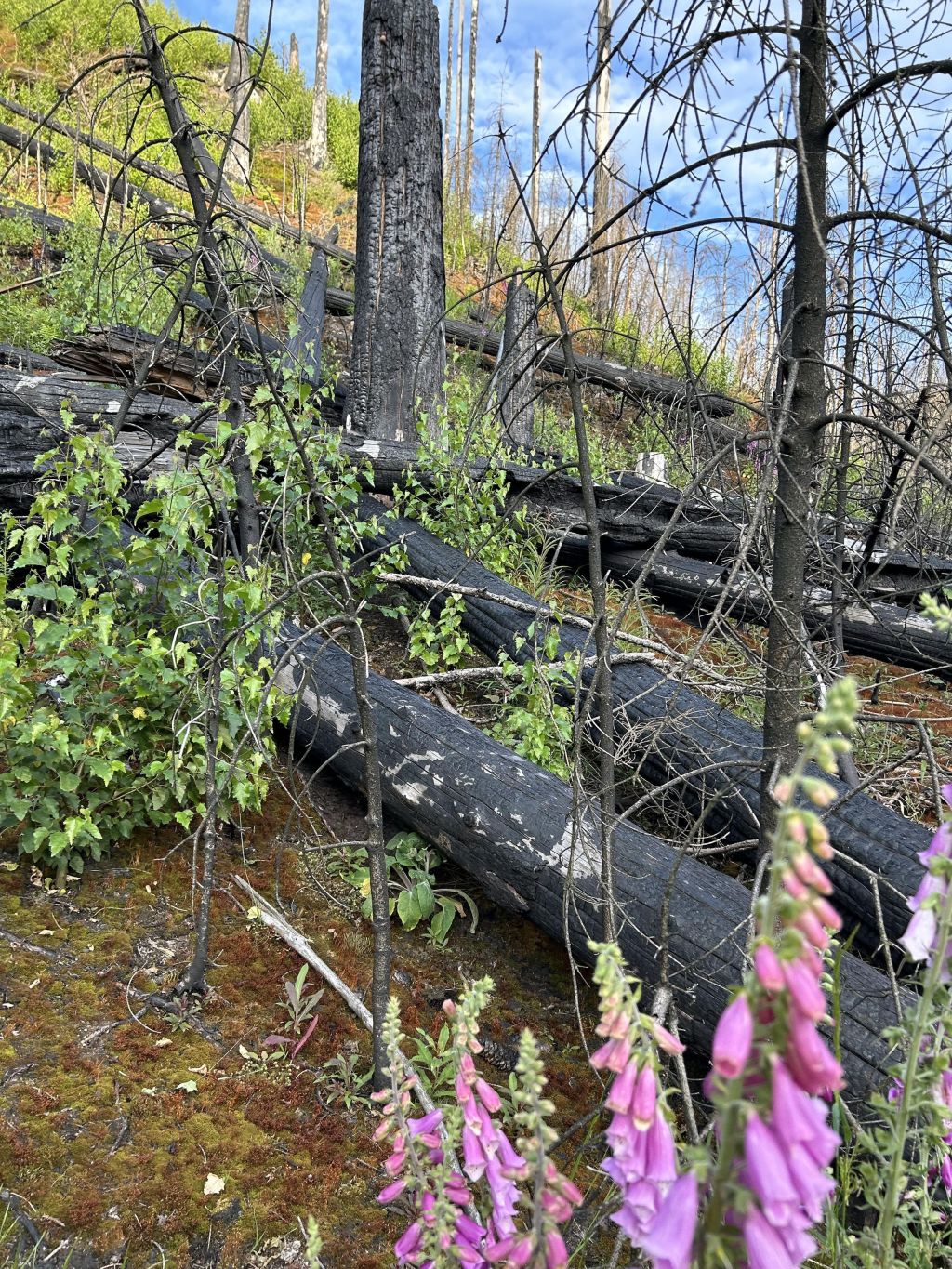
Challenge: Growing Wildfire Risk in Border Regions
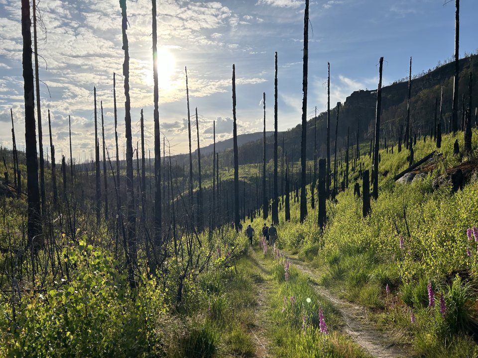
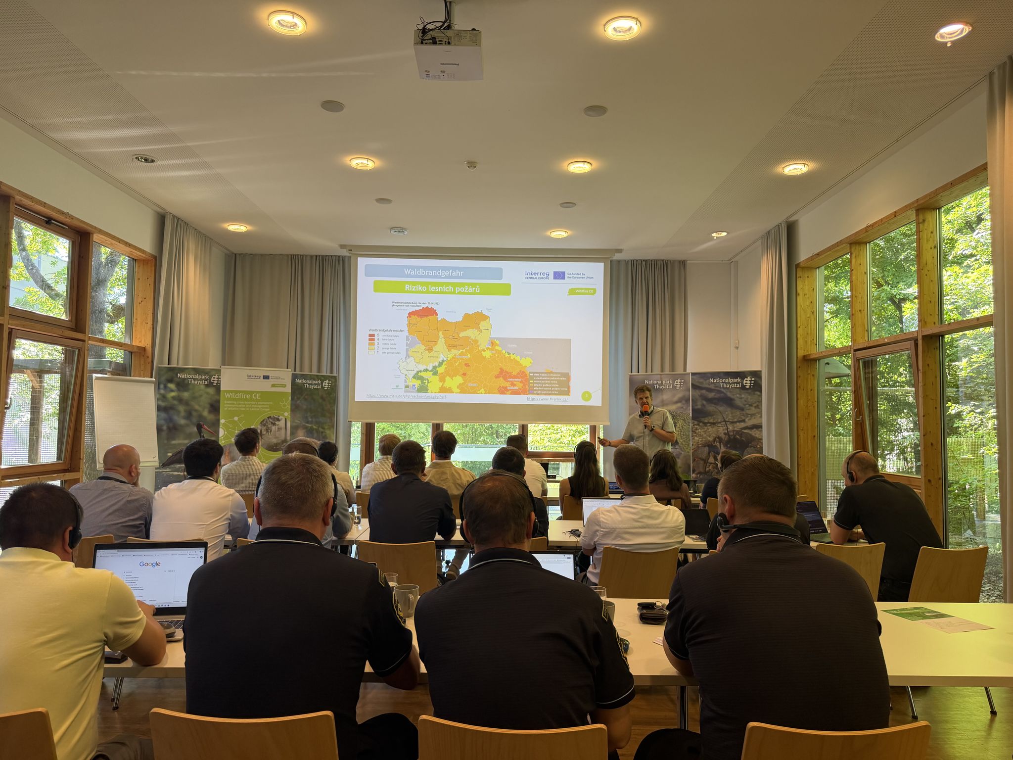
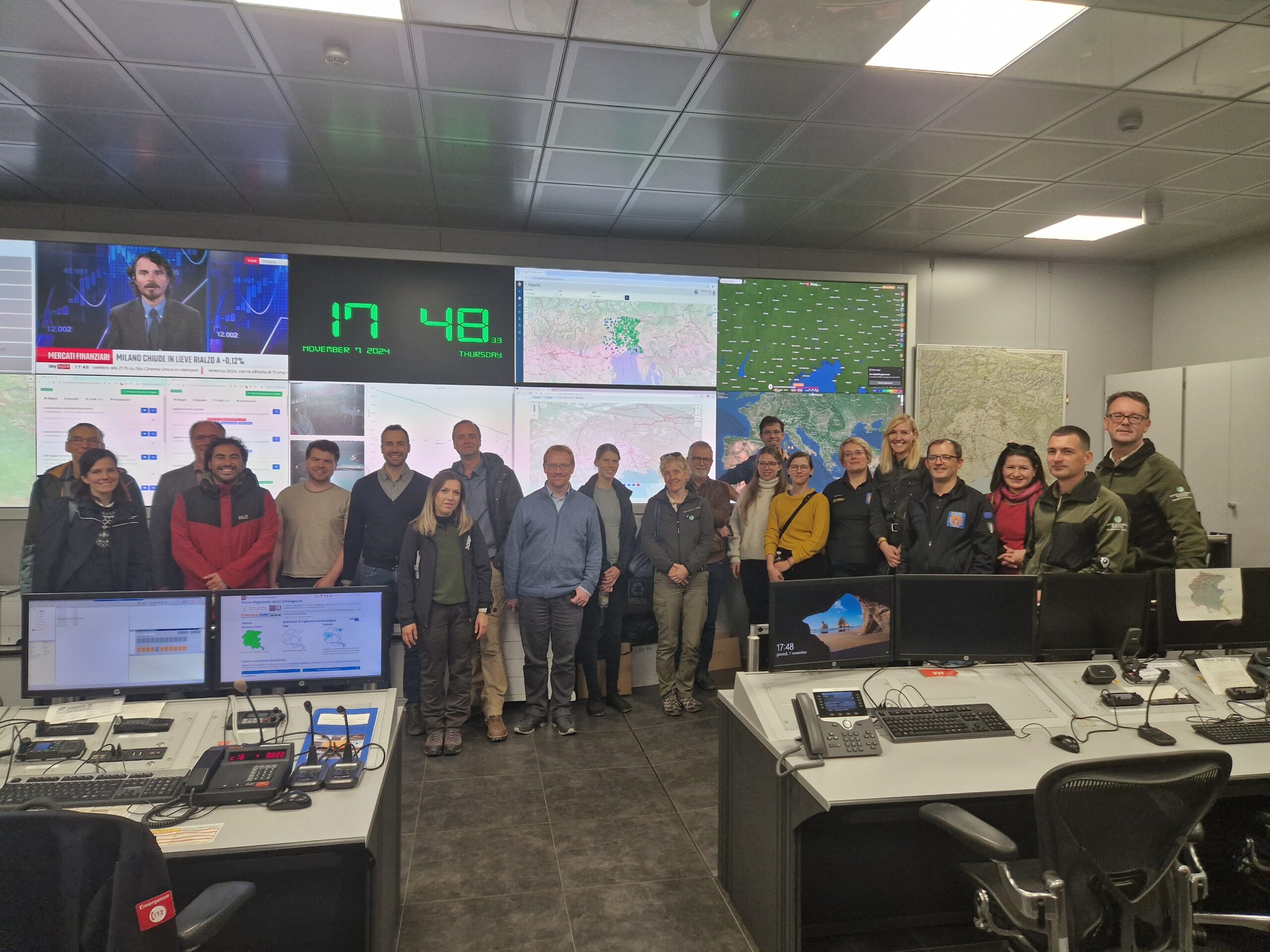
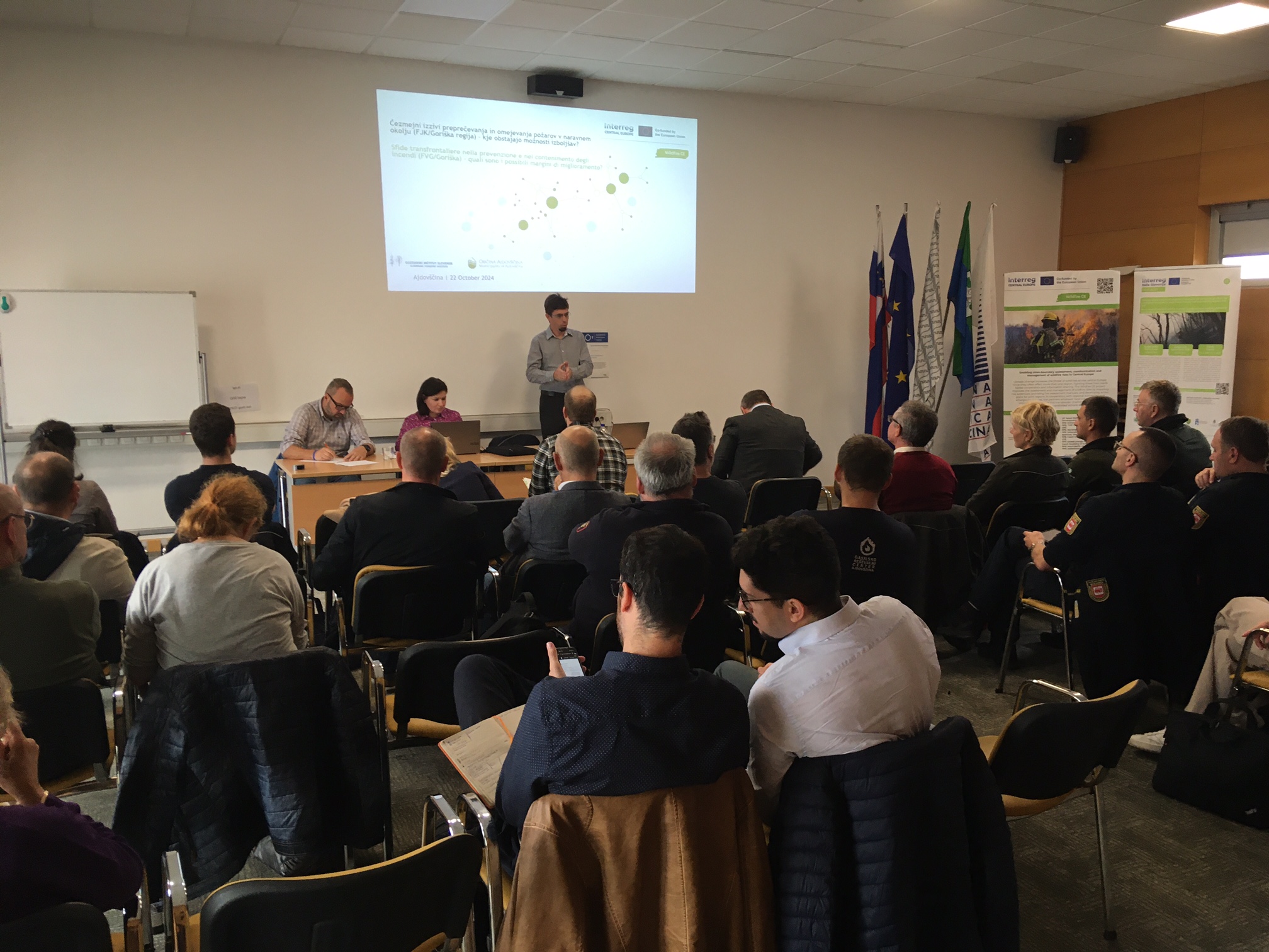
Throughout Central Europe, the risk of wildfires is increasing due to climate change, endangering people, ecosystems, and infrastructure. Border regions are particularly vulnerable, as fragmented land management, inconsistent risk assessments, and a lack of shared data hinder effective cross-border prevention and response.
Idea: A Joint, Cross-Border Approach to Wildfire Management
WILDFIRE CE aims to develop a shared understanding of wildfire risks and improve coordination among regions across borders. By harmonizing methods and pooling knowledge, the project will foster a more integrated and inclusive approach to assessing, managing, and reducing wildfire risks.
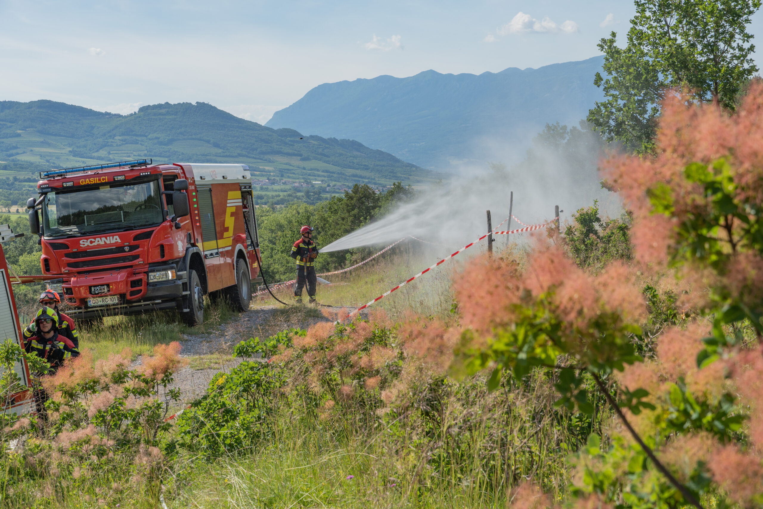
Solution: Shared Tools, Data, and Action Plans

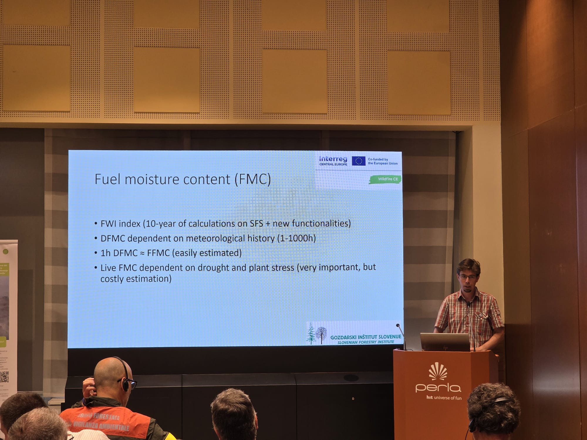
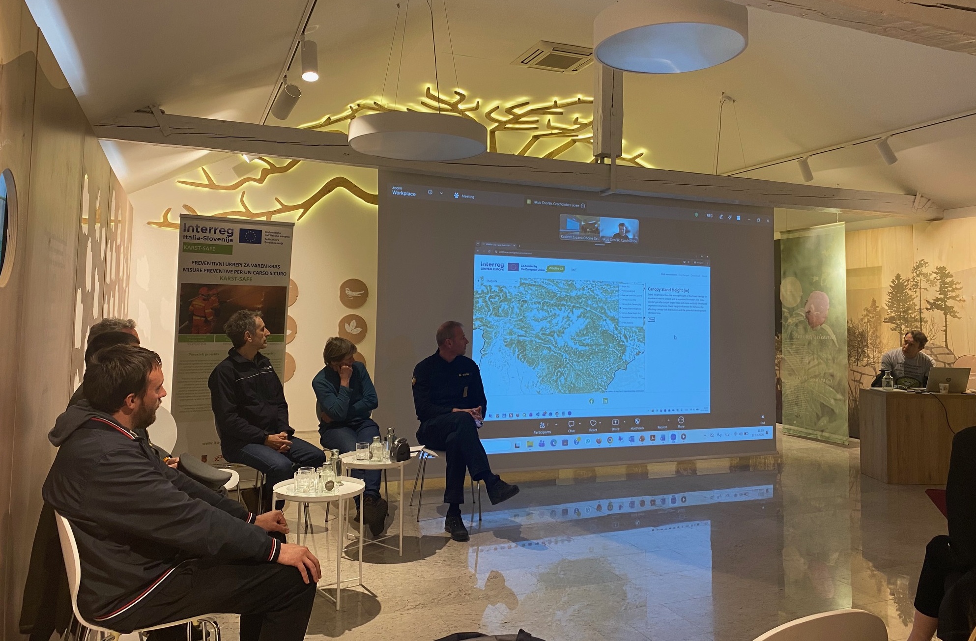
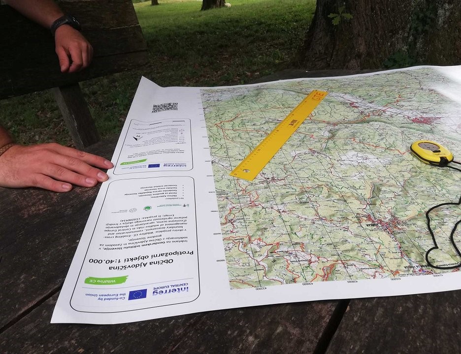
The project will map wildfire fuels, fire behavior, and access routes across regions and borders, and will create a manual for risk assessment tailored to Central European border areas. Pilot actions and a digital platform will support local authorities, emergency services, and planners in making informed, coordinated decisions to reduce wildfire risk.
How It Works: Data-Driven Actions and Transnational Cooperation
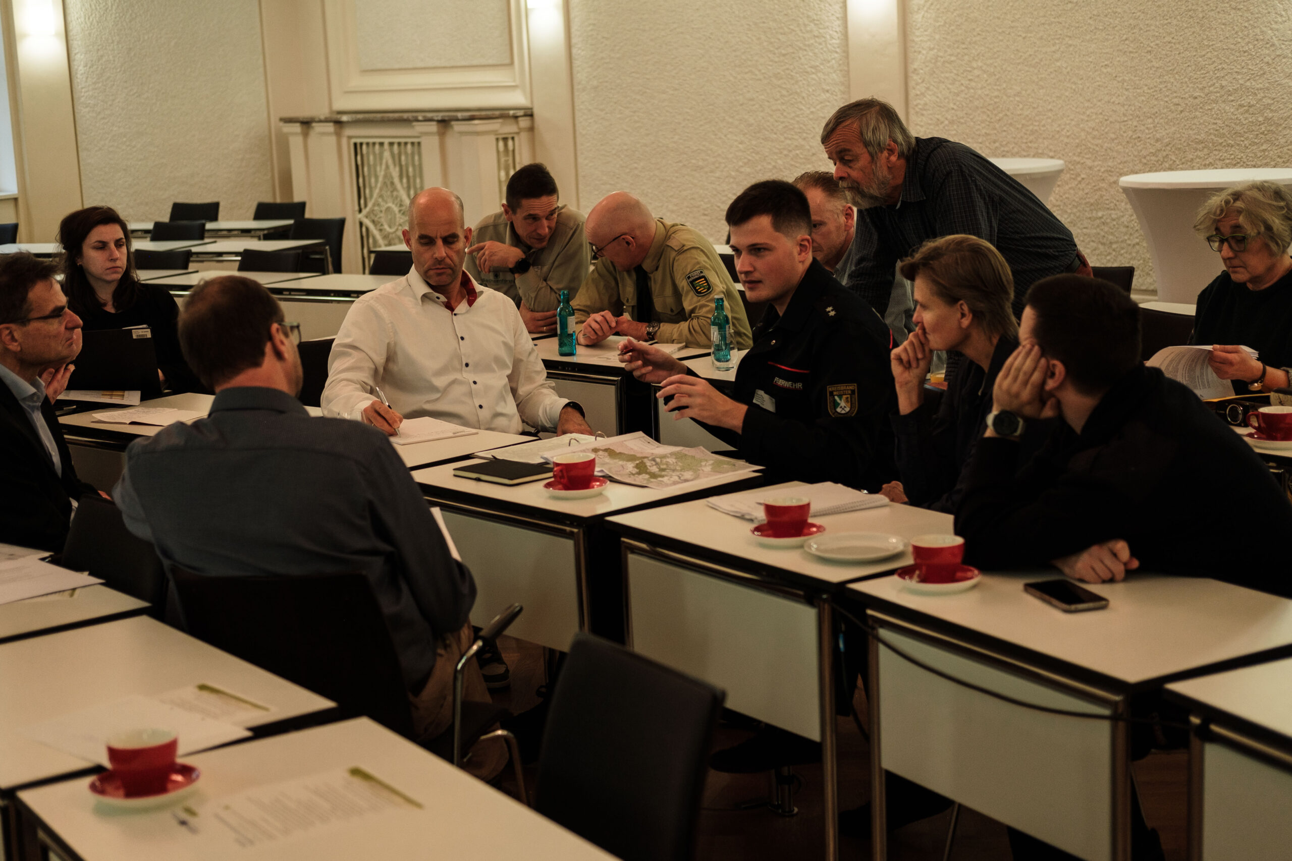
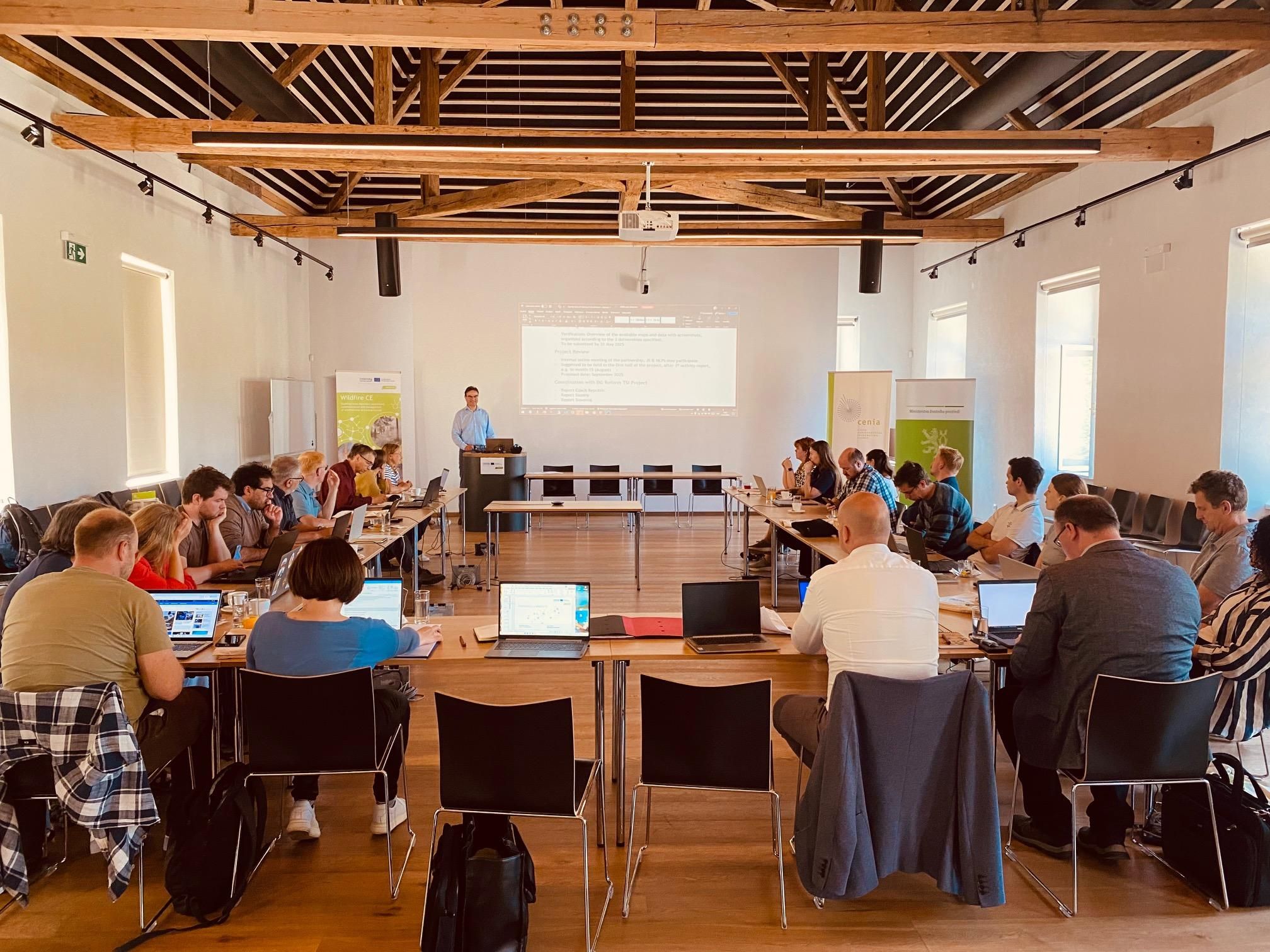
The project begins by gathering spatial data and best practices to inform a wildfire risk assessment manual. This information feeds into an online platform and action plans tested in pilot regions, enabling targeted prevention and response. Transnational cooperation ensures that knowledge, tools, and strategies are shared and adapted across all participating territories.
News

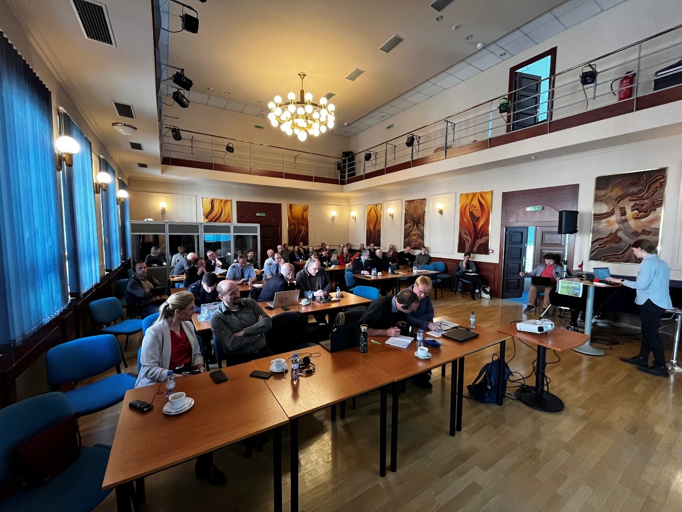

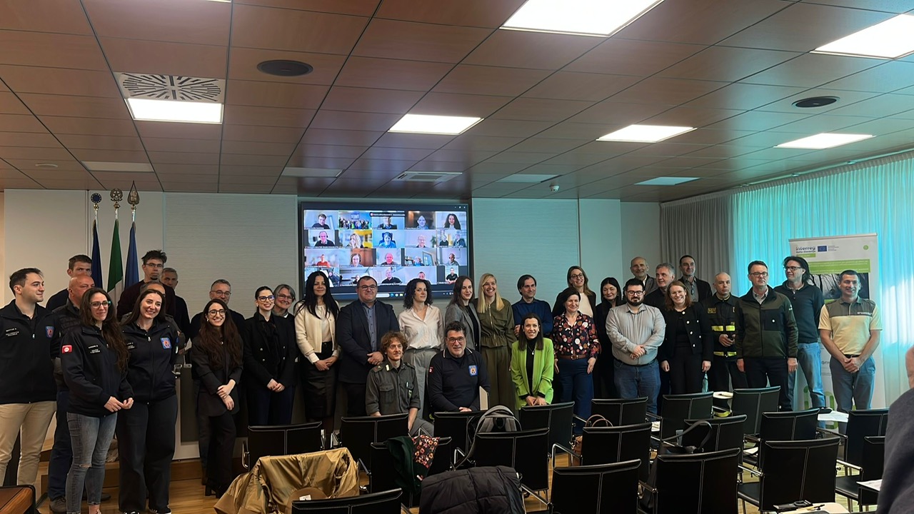

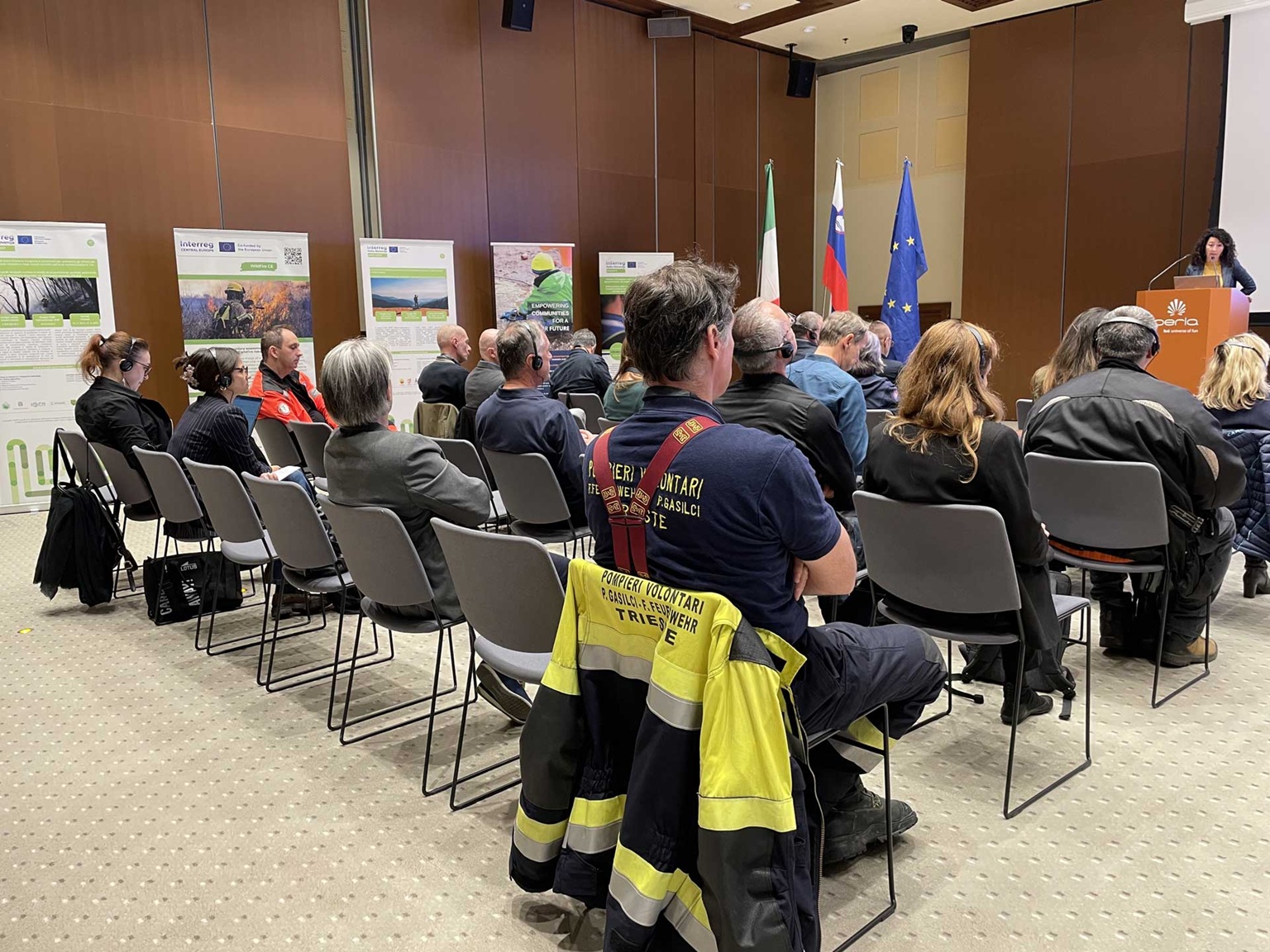
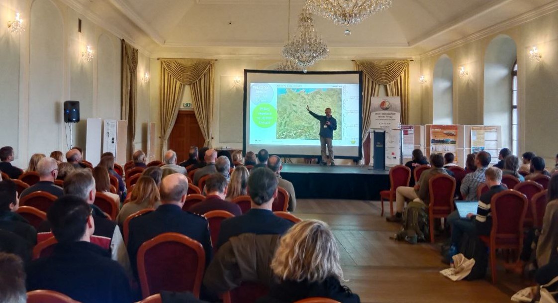

Events


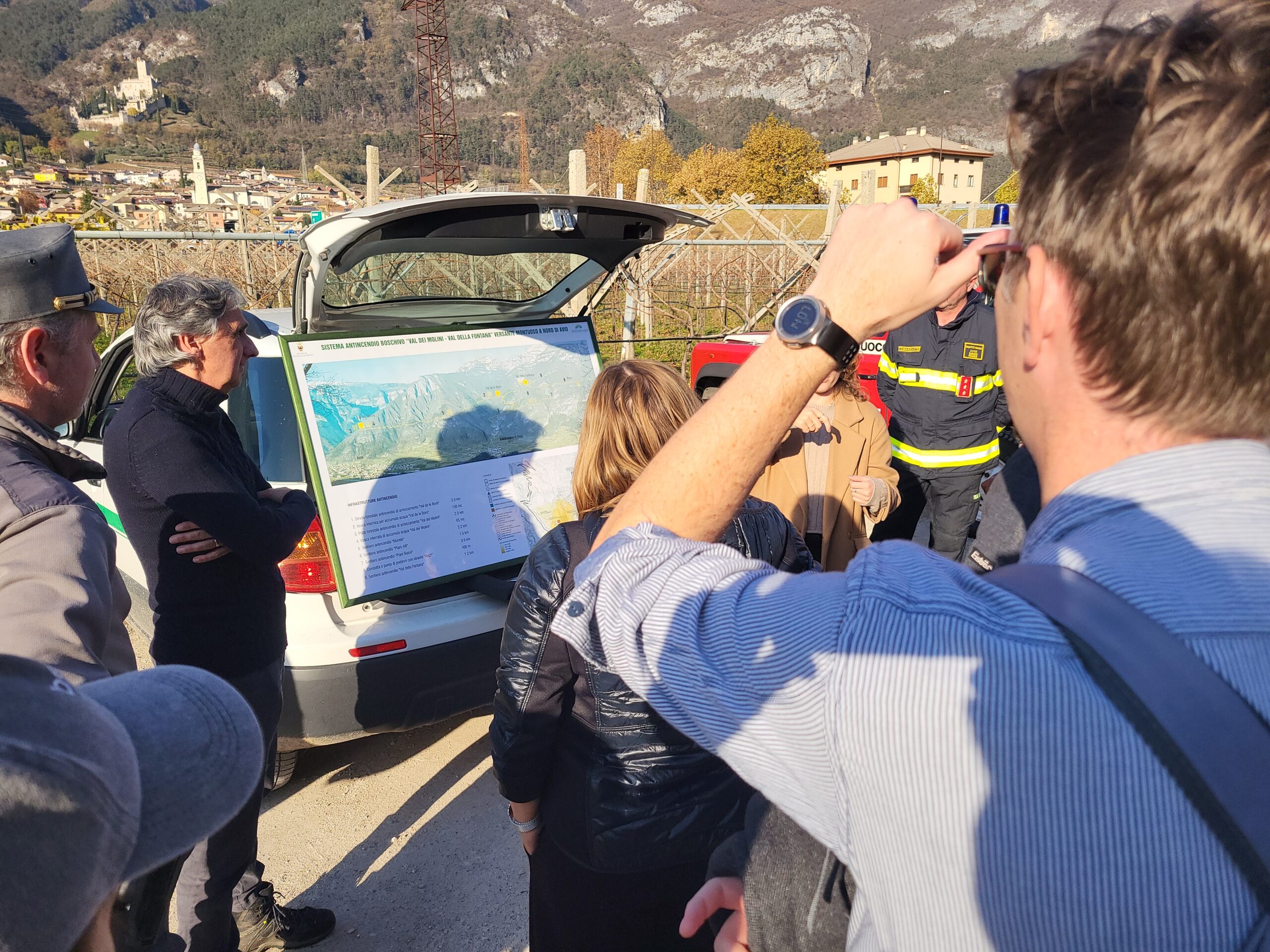
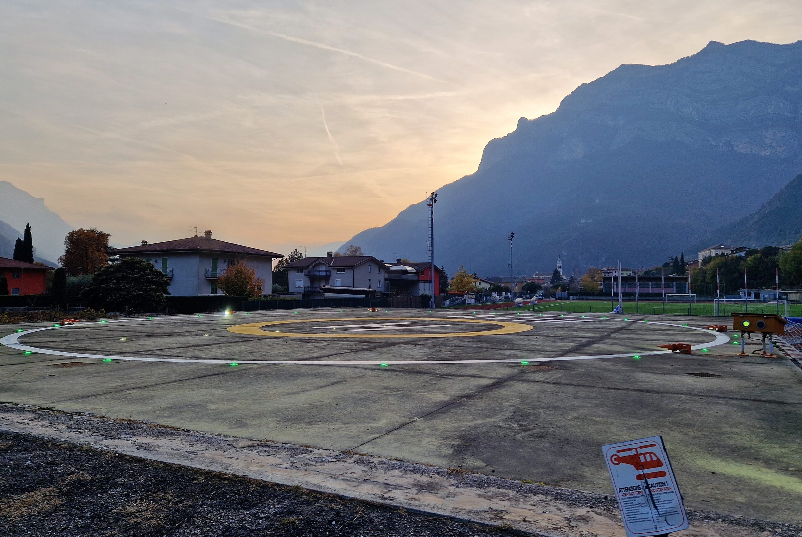
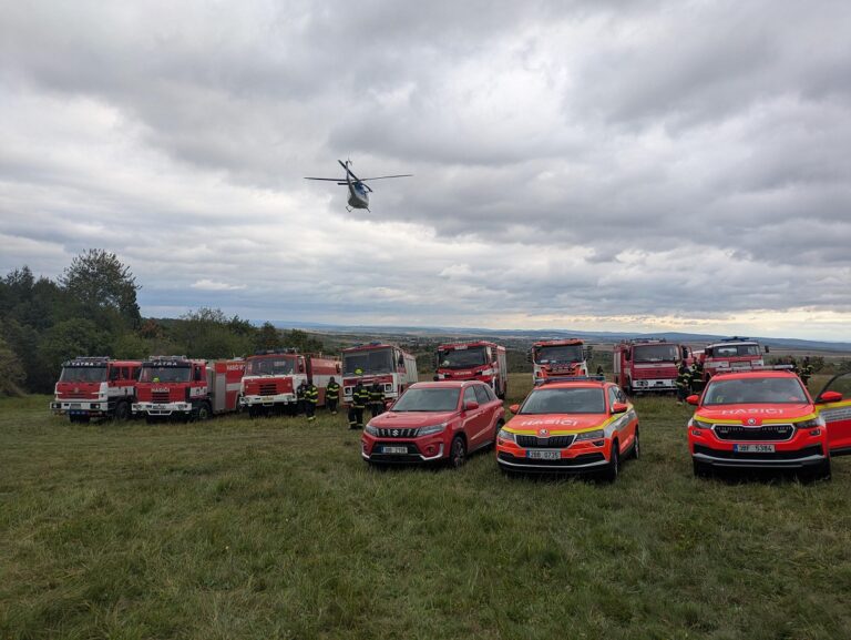
Pilot actions
Outputs
1.1 Strategy for the Application of Spatial and Weather Data for assessing Wildfire Risk in Border Regions
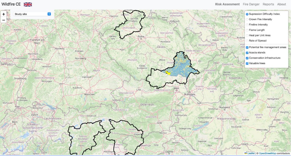
2.2 Wildfire CE Risk Platform
3.1 Regional Action Plans to Manage Wildfire Risk in Cross-Border Landscapes
Wildfire CE
The project lead partner is responsible for the content of this project website.