The location was not chosen randomly, as the nearby Bohemian Switzerland National Park experienced one of the largest wildfires in its history only a few years ago.
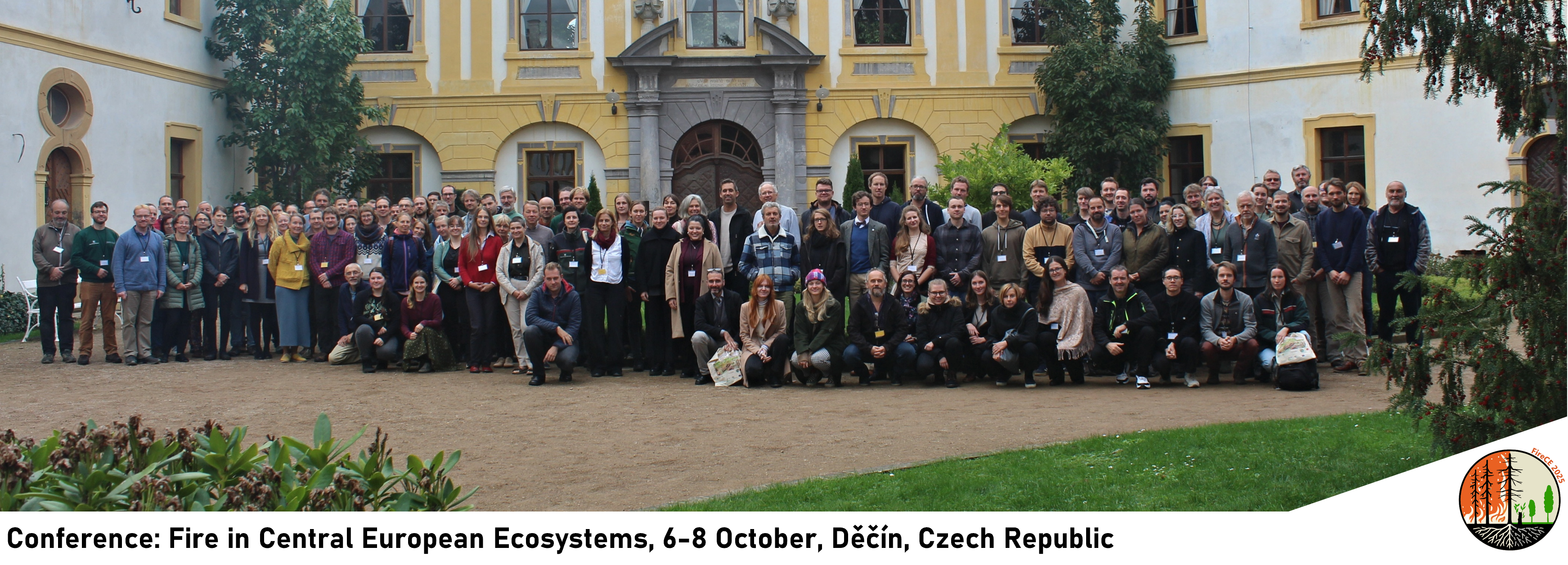
The Wildfire CE project addresses several, if not all, of the topics discussed at the conference. Therefore, many of our members attended and gave presentations there.
The presentation by Prof. Dr. Matthias Forkel from the Dresden University of Technology highlighted how partners from Germany, Czechia, Austria, Slovenia, and Italy are collaborating to improve wildfire risk assessment, enhance fire behaviour modelling, and support local communities and authorities with practical tools and coordinated action plans. With rising temperatures and increasingly dryer conditions elevating wildfire risks, the talk emphasized the importance of cross-border cooperation and shared knowledge to better protect Central European landscapes and communities in a changing climate.
Mariana Silva Andrade, M.Sc., a Research project assistant at the University of Natural Resources and Life Sciences from Vienna (BOKU), presented her research, ifocusing on fuel studies—essential for improving fire behavior, understanding across regions and facilitating the sharing of best methodologies across borders. In her study, she compared standard fuel models (Scott and Burgan) versus custom fuel models (BOKU model) using the BEHAVE Plus fire modeling system. The custom models included empirical field data collected during multiple field experiments, capturing the unique fuel properties of alpine regions. Simulations for the case study regions were adjusted for local fuel load and fuel bed depth and validated against real fire incidents from 2024. The results showed that custom fuel models provide more accurate predictions of flame length and rate of spread than standard models, highlighting the need for a new fuel map to enhance fire behavior predictions across borders.
Katrin Kuhnen, M.Sc., is a research associate at BOKU-University in Vienna. In her research she focuses on modelling the temporal and spatial spread of wildfires. She presented a set of criteria based on which three wildfire models were selected (Farsite, Prometheus, SimtableTM) that are suitable for Central European environmental conditions. All models are applied to two areas of interest (Gänserndorf and the Wildalpen), where fires occurred in 2024 and where sufficient documentation is available. Another important data basis for modelling was the fuel model adapted by Mariana Silva Andrade. Initial results with the Prometheus model showed an underestimation of the rate of spread, although the spatial perimeter was sufficiently modelled in most of the areas. In the next step, attempts will be made to improve the results by representing the wind parameters more realistically.
The Scott and Burgan (S&B) fuel model is widely used for predicting fire behavior, but its rigid classification scheme can be challenging to apply in regions with diverse landscapes, such as Central Europe. This study, presented by Dr. Francesco Pirotti, associated professor at the University of Padova, outlines a workflow to create a 30 m resolution S&B fuel model map tailored to Central Europe. The approach combines Earth observation data with local inputs, such as land cover and canopy metrics to enhance classification accuracy. By integrating both global and local datasets, the model tracks uncertainty throughout the process. In cases of conflict between global and local data, the latter are given priority, improving thematic reliability. For instance, when global data classify an area as urban but local data indicate it is a water body, the local classification prevails. The final product is a spatially detailed fuel model map accompanied by any uncertainty layer, offering a more transparent and regionally relevant tool for wildfire modeling in heterogeneous landscapes.
A novel pan-European fuel map server was developed as part of the FIRE-RES H2020 project (https://www.cirgeo.unipd.it/fire-res/app/), and was presented by Dr. Erico Kutthart from the CTFC and University of Padova. Hosted on Google Earth Engine, the server provides critical spatial datasets for forest fire behavior modeling at a 100 m resolution, updated to 2020. It includes 11 raster layers: three topographical variables (elevation, slope, and aspect), four canopy attributes (canopy height, canopy cover, canopy base height – CBH, and canopy bulk density – CBD), fuel classes based on Scott and Burgan nomenclature, an aboveground biomass map and the two uncertainty layers related to CBH and CBD. Canopy fuel data were derived from Earth observation, AI, and allometric relationships, and uncertainty maps for canopy fuels were also included using forest infventory plots and LiDAR data as a ground-truth data for validation. All layers are harmonized for the EU-27, co-registered to the same reference system and resolution. These datasets are organized by administrative divisions (NUTS levels) and are available for viewing, querying, and downloading. In total, the server hosts over 1,800 raster layers, enabling users tto perform forest fire simulations across Europe using a variety of software tools.
Presented by Johanna Kranz, B.Sc., a researcher at Dresden University of Technology, this study evaluates methods for estimating fuel moisture content (FMC) in temperate forests of Germany. The research assesses i) continuous in situ fuel stick measurements, ii) the Koba litter moisture model, and iii) a vapour pressure deficit-based model for estimating FMC of litter and woody debris across four forest sites. Additionally, fire weather indices derived from meteorological stations, large-scale models, and satellite data explored as FMC predictors using correlation analysis and generalized additive models (GAM).
Results show that continuous fuel stick measurements align well with litter FMC in both coniferous and deciduous forests. The litter moisture model strongly correlates with dead FMC, while the fine fuel moisture code was the best predictor of FMC (GAM R² = 0.87, RMSE = 4.1%). The European Forest Fire Information System (EFFIS) fire weather index underestimated local FMC variability. To enhance live fuel moisture estimates, we propose a semi-empirical model based on Sentinel-1 C-band SAR data, linking forest water cycle variables, such as live fuel moisture content (LFMC) and canopy interception to microwave signals, improving fire danger monitoring in temperate forests.
Presented by Mgr. Lucie Kudláčková from CzechGlobe, this study focuses on mapping the Suppression Difficulty Index (SDI), which has been tested by the Fire Rescue Service and national parks. The SDI helps identify high-risk areas for fire ignition and spread, based on terrain, vegetation, and firefighting parameters. The index is calculated on a 30 × 30 m raster, enabling detailed risk assessment under extreme conditions, including weather and fuel moisture.
Vegetation is reclassified into a fuel model (Trnka et al., 2025), allowing fire behavior modeling in FlamMap (Finney, 2006; Finney et al., 2019). This approach evaluates how vegetation changes affect fire behavior under consistent weather conditions. In collaboration with Šumava National Park, we present model outputs for two scenarios: 1) The effect of mowing grasslands on fire controllability, and 2) A simulation of fire spread for prescribed burning sites under different weather conditions. Results will be presented as annotated maps and discussed in the context of fire management in protected areas.
Louis Georgi, from Bohemian Switzerland National Park highlighted the increasing challenges of vegetation fires in Saxon Switzerland National Park, especially during prolonged dry periods. The park’s steep terrain, dense forests, and high visitor numbers require effective fire management, with clear responsibilities among local fire brigades, landowners, district authorities, and the National Park Administration, which integrates nature conservation goals. Fire prevention focuses on education, reducing risks near settlements, and maintaining critical infrastructure, including access routes and water supply networks.
Strong communication is crucial, with the National Park Ranger Service educating visitors on-site, and local media spreading information during high-risk periods. Innovative approaches, such as a sensor-based early warning system in a remote valley, are also being tested. This presentation shares practical lessons from Saxon Switzerland on combining responsibilities, infrastructure, communication, and technology into an effective vegetation fire management system.
In conclusion, the Wildfire CE project showcases a range of innovative strategies and collaborative efforts aimed at enhancing wildfire management across Central Europe. Presentations at the Fire in Central European Ecosystems conference underscored the importance of integrating advanced fuel modeling, fire behavior simulations, and robust monitoring systems. From the development of detailed fuel maps to the implementations of sensor-based early warning systems, these initiatives highlight the critical need for cross-border cooperation, local adaptation, and advanced technology to address the increasing wildfire risks. As climate change continues to elevate fire threats, the insights shared by researchers and practitioners provide invaluable tools for improving fire prevention, response, and resilience, particularly in sensitive and protected ecosystems.