EnCLOD

Project overview

Enhancing governance Capacities of Local authorities using Open Data

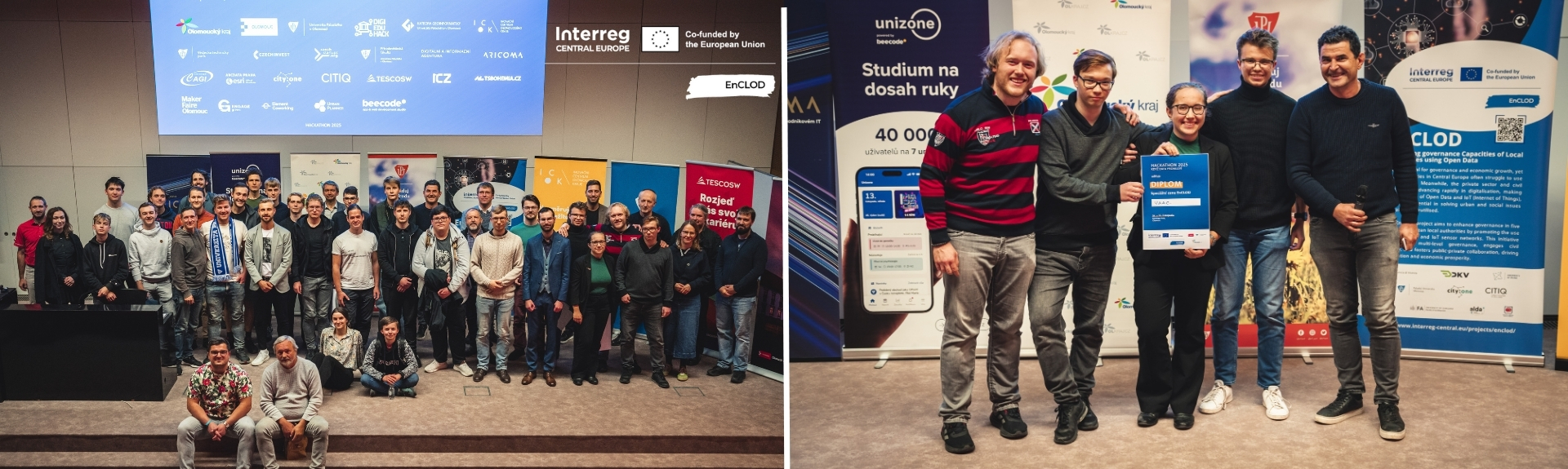
Data is the raw material for territorial governance in our digital age, but public authorities often lack capacities to utilise data effectively. At the same time, the vast expertise of civil society and the private sector on technological issues remains untapped for solving urban issues. The EnCLOD project bridges this gap by fostering collaboration between local authorities, civily society, and the private sector in five countries. Together, they are improving local governance by training public officials on Open Data, the Internet of Things and Digital Twins. In addition, they develop tech-related action plans, and engage communities in events like “hackathons”.

1,91m €

Project Budget

80%

of the Budget is funded by ERDF

Layer 1

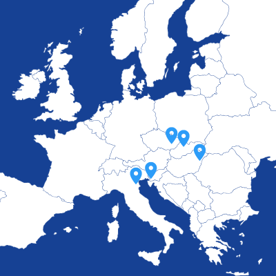
5

Countries

6

Regions

10

Partners

5

Pilots

Duration

Start date

End date

Project progress

97%

Project partnership

Project partners

Italia (IT)

Lead partner

Province of Vicenza

Tecnical Services
Address
Contrà Gazzolle 1
36100 Vicenza
Country
Italy (IT)
Web
www.provincia.vicenza.it

Project partner

Address
Santa Croce 191
30135 VENEZIA
Country
Italy (IT)
Web
www.iuav.it
Total partner budget
224,000 €
Directorate of Innovation and Service development
Address
Salétrom 3
4025 Debrecen
Country
Hungary (HU)
Web
www.dkv.hu http://smartcity.debrecen.hu/en
Total partner budget
142,800 €
Address
Brněnská 344
68603 STARÉ MĚSTO
Country
Czechia (CZ)
Web
www.citiq.cz
Total partner budget
247,240 €
Department of Geoinformatics
Address
17. listopadu 50
77900 Olomouc
Country
Czechia (CZ)
Web
www.upol.cz
Total partner budget
156,800 €
n/a
Address
Královo Pole 34E
61100 Brno
Country
Czechia (CZ)
Web
https://www.cityone.cz/
Total partner budget
218,800 €
Address
Trg Edvarda Kardelja 1
5000 NOVA GORICA
Country
Slovenia (SI)
Web
https://www.nova-gorica.si/
Total partner budget
156,780 €
Faculty of Architecture
Address
Zoisova cesta 12
1000 Ljubljana
Country
Slovenia (SI)
Web
https://www.uni-lj.si/
Total partner budget
147,000 €
University Science Park
Address
Univerzitná 8215/1
SK-01026 Žilina
Country
Slovakia (SK)
Web
https://www.uniza.sk/
Total partner budget
203,000 €
n/a
Address
Viale Milano 36
36100 Vicenza
Country
Italy (IT)
Web
www.alda-europe.eu
Total partner budget
116,200 €

Roadmap

1

Challenge

Territorial governance in Central Europe faces challenges due to inadequate data collection and utilisation, often leading to inefficient decision-making and hampering progress in environmental, mobility, and societal goals.

2

Specific Problem

While new technologies like the Internet of Things (IoT) offer great potential for urban data provision, public authorities are slow to adopt them as standard sources. A lack of awareness, trust, and knowledge about the benefits and costs of these technologies contributes to this delay. In contrast, the private sector and civil society are advancing faster in digitalisation, but their potential remains underutilised in collaborative governance processes. The inaccessibility and non-standardisation of territorial data further complicate transnational cooperation and development.

3

Idea

The EnCLOD project aims to address the limited capacity of local authorities in Central Europe to fully leverage the potential of IoT, Open Data, and Digital Twins for improved territorial governance and citizen engagement.

4

Solution

EnCLOD enhances governance capacities in five Central European territories by utilising Open Data, IoT, and Digital Twins. It promotes the use of sensor networks to support multi-level territorial governance while encouraging new forms of civil society involvement and fostering public-private collaboration through the responsible reuse of Open Data, ultimately benefiting society and driving equitable economic opportunities.

5

How it works

By integrating Open Data into planning and decision-making processes, the EnCLOD project promotes more informed governance, enhances stakeholder involvement, and improves overall decision-making. Its approach encourages the adoption of common digital planning tools, which support transnational cooperation by overcoming national or regional limitations. This enables territorial information to be shared, compared, and utilised for governance and research across Europe.

6

Proof/Credibility

EnCLOD has developed five comprehensive Action Plans aimed at addressing regional challenges in Central Europe, utilising data collection and analysis to enhance governance and decision-making processes. The project engages citizens and stakeholders through innovative, technology-driven initiatives to promote Open Data and IoT tools. The project follows these key steps: - Conducting benchmarking studies to identify EU and global best practices in Open Data usage. - Developing five Action Plans based on a shared methodology to address regional challenges. - Co-designing and implementing the Action Plans through thorough data collection and analysis. - Raising awareness and conducting capacity-building activities within the project territories. - Engaging in co-innovation activities with citizens, SMEs, and key stakeholders. - Disseminating results to ensure the sustainability and transferability of the project's outcomes.

7

Vision

The EnCLOD project will enhance governance capacities of local authorities by using Open Data.

News
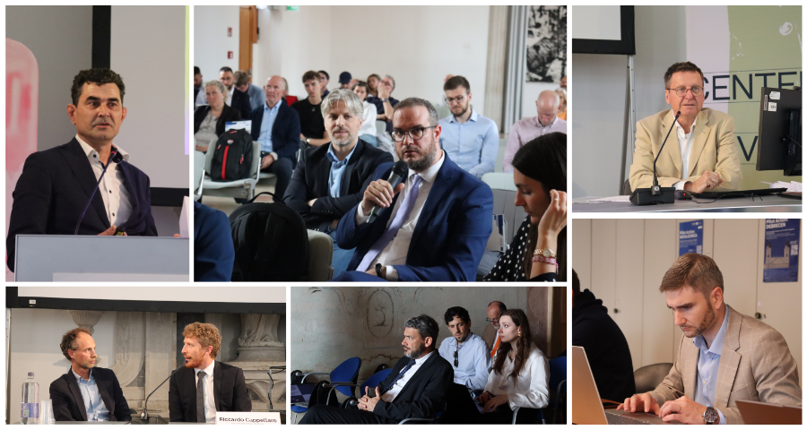
Events

Pilot actions

Outputs

5 Action Plans on OD usage and citizens' involvement strategies for the 5 Pilot Areas

Central European cities face increasing challenges such as pollution, traffic, and climate change, which hinder sustainable urban development. Although Open Data can significantly improve territorial governance and innovation, many local authorities lack the tools and strategies to use it effectively due to fragmented systems, limited real-time data, and low citizen participation. To address this, the EnCLOD project has developed Local Action Plans for five pilot areas (Žilina, Olomouc, Debrecen, Nova Gorica, and Vicenza). These plans serve as strategic roadmaps to boost the use of Open Data, helping local governments make better-informed decisions and improve services—particularly in areas like climate resilience and mobility—through more coordinated, transparent, and inclusive governance.
Type of output: Strategies and action plans

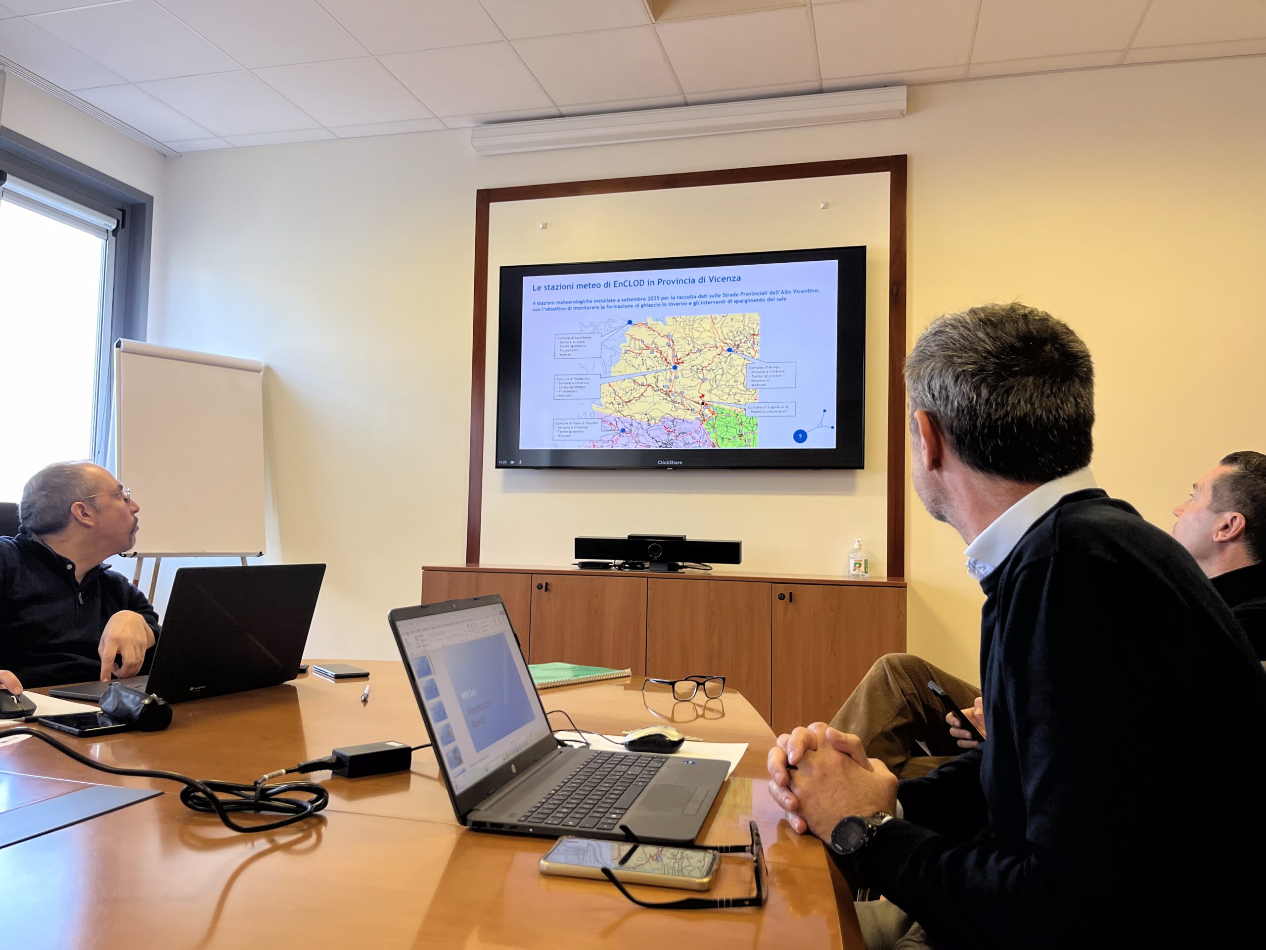
Road salting optimisation using Open Data and weather sensors

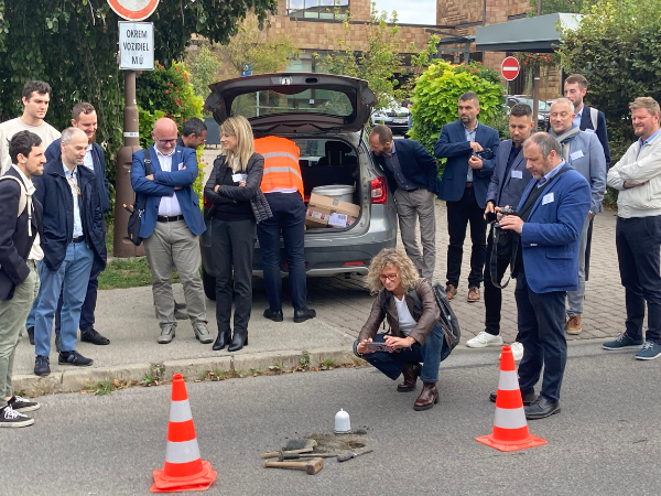
A prediction model, supported by a dedicated sensor network for Open Data generation, will be developed alongside a visual interface and/or operational guidelines. This system will provide road-level precision in identifying when and where the use of salt is recommended to prevent icing risks in Vicenza.
Type of output: Solutions
In development

Enhancing urban road safety with the “Traffic Safety Preventist Tool”
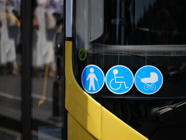
A low-cost sensor network for Open Data generation, combined with a dashboard for data visualisation and calculation of a traffic safety index, supports the design and implementation of traffic regulation measures in urban areas—with a focus on pedestrian safety and citizen engagement in Žilina.
Type of output: Solutions
In development

Data-Driven Decision Support System for Public Transport and Sustainable Mobility

A dashboard and sensor network for Open Data generation, designed to support data-driven decision-making in the field of public transport and sustainable mobility at urban and peri-urban levels in Debrecen. The system enables a deeper understanding of current mobility patterns and citizen needs, while offering scenario analysis to guide strategic planning.
Type of output: Solutions
In development

Air quality plan and Open Data monitoring system
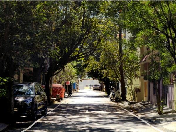
Through targeted and effective data collection and analysis, a new Air Quality Plan will be developed for Nova Gorica, accompanied by specific monitoring criteria and data visualisation tools, ensuring Open Data availability.
Type of output: Solutions
In development

Data-Driven tool for climate adaptation and citizen engagement
A dashboard and low-cost sensor network, combined with Open Data generation, designed to support informed decision-making and citizen engagement in the implementation of climate change adaptation measures in Olomouc.
Type of output: Solutions
In development

EnCLOD guidelines for exploiting Open Data potentialities for territorial governance

An actionable and replicable method aimed at strengthening the territorial governance capacities of local authorities in key priority areas of city and regional agendas, through more effective use of Open Data. The “EnCLOD approach” will offer practical guidance and concrete examples, drawn from project outcomes, on how to harness the potential of Open Data to support local-level governance and enhance civil society engagement.
Type of output: Solutions
In development

Project videos

Project documents

Report on Open Data & IoT Usage: Good Practices for Territorial Governance at City-Region Level

Report on EnCLOD territories Open Data maturity level and gaps analysis

5 Action Plans for Open Data and IoT usage for territorial governance in project Pilot Areas

Data usage for city-region planners: preliminary guidelines

Common EnCLOD training/education materials on Open Data and IoT for territorial governance

EnCLOD Hackathon Common Guidelines

Pilot Actions

Pilot Action: Vicenza (eng) From data to safer roads: discover how the Province of Vicenza is using Open Data, IoT sensors and predictive tools to improve winter road maintenance, enhance road safety, and support smarter territorial governance through the EnCLOD pilot action.
Pilot Action: Vicenza (ita) Dai dati a strade più sicure: scopri come la Provincia di Vicenza utilizza Open Data, sensori IoT e strumenti predittivi per migliorare la manutenzione invernale delle strade, aumentare la sicurezza stradale e promuovere una governance territoriale più intelligente attraverso l’azione pilota del progetto EnCLOD.
Pilot Action: Žilina (eng) From data to safer streets: discover how the City of Žilina is using Open Data, IoT traffic sensors and real-time monitoring to improve road safety, protect vulnerable road users, and support smarter urban planning through the EnCLOD pilot action.
Pilot Action: Olomouc (eng) From data to cooler cities: discover how the City of Olomouc is using Open Data, IoT sensors and urban microclimate monitoring to tackle urban heat islands, support climate adaptation, and lay the foundations for a city-wide Digital Twin through the EnCLOD pilot action.
Pilot Action: Olomouc (cz) Od dat k chladnějším městům: zjistěte, jak město Olomouc využívá otevřená data, senzory IoT a monitoring městského mikroklimatu k řešení efektu městských tepelných ostrovů, podpoře adaptace na změnu klimatu a vytvoření základů pro digitální dvojče celého města prostřednictvím pilotní akce projektu EnCLOD.
Pilot Action: Nova Gorica (eng) From data to cleaner air: discover how the City of Nova Gorica is using Open Data, IoT traffic and air-quality sensors to better understand the relationship between mobility and pollution, support evidence-based urban planning, and build a smarter, more sustainable future through the EnCLOD pilot action.
Pilot Action: Nova Gorica (svn) Od podatkov do čistejšega zraka: odkrijte, kako Mestna občina Nova Gorica z uporabo odprtih podatkov, IoT-senzorjev za spremljanje prometa in kakovosti zraka bolje razume povezavo med mobilnostjo in onesnaženostjo, podpira na dokazih temelječe urbano načrtovanje ter skozi pilotno akcijo EnCLOD gradi pametnejšo in bolj trajnostno prihodnost.
Pilot Action: Debrecen (eng) From data to smarter mobility: discover how the City of Debrecen is using Open Data, IoT traffic sensors and real-time mobility data to improve public transport services, support evidence-based traffic management, and promote more sustainable urban mobility through the EnCLOD pilot action.
Pilot Action: Debrecen (hu) Az adatoktól az intelligensebb mobilitásig: fedezze fel, hogyan használja Debrecen városa a nyílt adatokat (Open Data), az IoT-alapú forgalomérzékelőket és a valós idejű mobilitási adatokat a tömegközlekedési szolgáltatások fejlesztésére, a bizonyítékokon alapuló forgalomirányítás támogatására, valamint a fenntarthatóbb városi mobilitás előmozdítására az EnCLOD kísérleti projekt keretében.

Project scientific articles

The Use of Floating Car Data for Traffic Analysis: A Case Study of the City of Olomouc This paper examines the potential and limitations of floating car data for the spatiotemporal assessment of urban traffic congestion in a medium-sized city. Using traffic flow data obtained from the HERE Traffic API, the study analyses congestion patterns in Olomouc, Czechia, with a focus on daily trends, hourly variations, changes on selected specific days, and the spatial distribution of congestion across road segments. The data were collected at 15-minute intervals and aggregated to identify recurring traffic patterns and deviations associated with holidays, school-related changes, and pandemic restrictions. The results show that aggregated floating car data provide a robust basis for identifying recurrent congestion patterns, peak periods, and problematic road sections within the city. At the same time, the analysis demonstrates that single-day anomalies are often difficult to interpret without additional contextual information. The study confirms that floating car data are a useful source for medium-scale urban traffic monitoring and comparative assessment of congestion, although their explanatory value is constrained by limited transparency in the underlying data generation process and by the absence of direct traffic counts.
Representative population distribution layer for Czechia: from methodology to automated solutions Knowledge of the spatial distribution of the population is essential for planning, policy-making, and socio-economic research. The traditional use of population data, typically based on residence, provides a static and often distorted perspective, as it fails to account for population mobility, which significantly affects spatial and temporal patterns. This study implements a bottom-up aggregation of seven national registers and census-derived indicators to generate representative daytime and nighttime population layers at a 100 m grid for Czechia (demonstrated on the Olomouc Region). The workflow includes preprocessing to remove overlaps between sources, geocoding to address locations, and transforming the resulting population counts into a 100 m grid representation. The procedure is implemented in Python and released as an ArcGIS Pro toolbox. Validation against census data and mobile-network geolocation estimates showed that nighttime population was reproduced with satisfactory accuracy, while daytime deviations increased with settlement size due to employee-range uncertainty, yet remained within acceptable limits (<22% for settlements <50,000 inhabitants). The resulting workflow provides a reproducible, parameterizable method for creating high-resolution gridded population data from national registers and, where available, more detailed custom input sources. Within the EnCLOD project, this layer was used for the microzoning of the city of Olomouc, forming the analytical basis of the dashboard structured by microzones. The data further supported the identification of priority locations for the deployment of the urban sensor network, with respect to population distribution and daily mobility patterns. The study thus provided a key data foundation for targeted sensor placement and evidence-based decision-making in urban monitoring.
Public engagement in the design of sensor networks for road Traffic safety prevention in urban environments This paper deals with the design of a low-cost sensor network for traffic monitoring and road safety improvement in urban environments, specifically in the city of Žilina. The project is aimed at actively involving the public, who provided their perception of dangerous places for pedestrians, cyclists and motorists through a survey. Thanks to the results of the survey and the use of open data, it is planned to expand the network of sensors in Žilina to measure speed and number of vehicles in risky locations. The aim is to create a tool for preventing traffic accidents that will support more efficient decision-making by the municipality and improve road safety. Practical suggestions for the application of measures to improve road safety are also presented.
Open Data nella Pianificazione dei Trasporti: Sfide e Opportunità The use of Open Data in transport planning represents a significant transformation in the way public authorities manage urban and regional mobility. This article systematically analyses the main challenges and opportunities associated with the adoption of open data in the transport sector, drawing on the experience of the Interreg EnCLOD project and other European initiatives. The main challenges relate primarily to data quality and accessibility, interoperability between heterogeneous systems, privacy and security issues, and institutional fragmentation. The opportunities, on the other hand, lie in improving administrative transparency, promoting technological innovation, supporting data-driven decision-making and involving citizens in planning processes. An analysis of the Italian experience, with particular reference to the Veneto Region and the Province of Vicenza, shows that, despite an advanced regulatory framework, significant disparities remain in the availability and use of open data. Finally, the article puts forward a number of operational recommendations to overcome existing barriers and fully harness the potential of open data in transport planning.
Citywide Traffic Sensor Network in Nova Gorica, Slovenia: 2025-2026 Telraam S2 Dataset This article describes a multimodal traffic dataset collected through a network of 26 Telraam S2 sensors deployed across Nova Gorica, Slovenia, within the framework of the Interreg Central Europe EnCLOD project. The network comprises 23 indoor window-mounted units and 3 experimental outdoor units, installed along arterial corridors, residential connectors, and sections of the city's ring road. Each Telraam S2 device is a low-cost, citizen-science-oriented Internet of Things (IoT) traffic counter equipped with a Kendryte K210 edge AI chip that performs real-time object detection and classification directly on-device, transmitting only anonymized, aggregated counts via a built-in cellular connection (LTE-M/NB-IoT). The dataset contains 15-minute interval time-series records for each sensor location. Each record includes directional counts for pedestrians, bicycles, motorcycles, cars, light trucks, trucks, buses, trailers, tractors, and strollers, as well as a consolidated night-time detection category. Derived metrics include car speed distribution histograms in 10 km/h bins and the V85 (85th percentile) speed per interval. Accompanying metadata provide sensor coordinates, street names, segment identifiers, installation type, and uptime quality indicators. No images or video are stored or transmitted by the devices; all processing occurs on board, ensuring compliance with privacy regulations. The data were exported from the Telraam dashboard and are archived as structured Excel (.xlsx) files, with CSV mirrors, on Zenodo under a CC BY-NC 4.0 license. This is the first fine-grained, multi-modal urban traffic dataset for Nova Gorica, a city that previously lacked systematic traffic monitoring infrastructure. The dataset is suitable for reuse in transport modelling, modal share analysis, speed behaviour assessment, air-quality exposure linkage, and urban mobility planning, and may serve as a reference for replicating low-cost distributed sensor deployments in comparable European cities.

Project images

EnCLOD

The project lead partner is responsible for the content of this project website.

Project on social media

Project Contacts

Project Manager

Filippo Squarcina
Phone: 0444 908235

Finance Manager

Caterina Bazzan
Phone: 0444 908309

Communication Manager

Francesca Borga
Phone: 0444 169000