
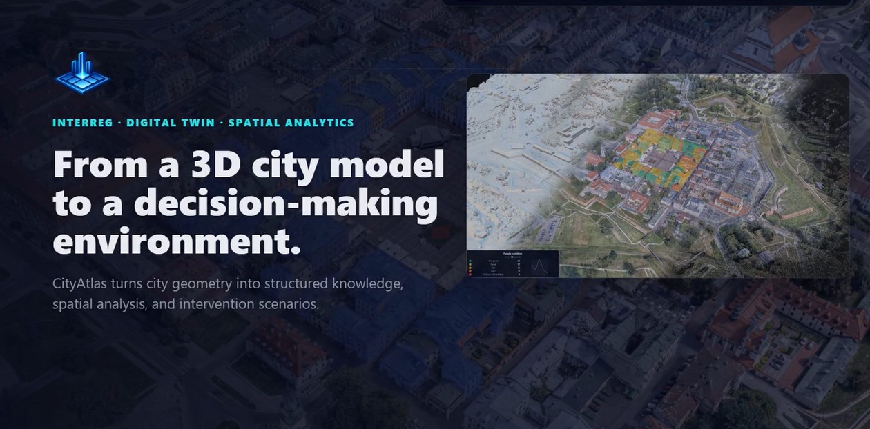
Rather than serving as a simple 3D visualisation, CityAtlas combines city geometry, semantic data, spatial analytics, and intervention scenarios within a single digital environment. This integrated approach enables cities to better understand their built environment, analyse existing conditions, and evaluate renovation pathways based on reliable spatial data.
The platform has been demonstrated using the historic city of Zamość, one of the ZEB4ZEN pilot areas. The pilot dataset includes approximately 100 buildings, where detailed 3D geometry is connected with comprehensive building information, creating a robust foundation for further enrichment with additional technical, energy, and socio-economic data.
The CityAtlas model is built using data collected directly in the city through laser scanning, photogrammetry, point cloud processing, and rigorous quality control. These technologies create an accurate digital representation of the urban environment, providing a common spatial framework where metadata, analytical results, filters, and simulation outputs remain geographically linked and easy to interpret.
To facilitate urban analysis, the city model is divided into spatial segments, allowing users to organise information into addressable units enriched with metadata and analytical layers. This structure enables multiple datasets, including administrative records, heritage protection information, technical characteristics, energy performance indicators, and socio-economic data to coexist within a single operational model.
CityAtlas also provides advanced analysis and simulation capabilities. Users can visualise building characteristics through thematic maps, legends, and parameter-based colour coding, making it easier to identify patterns related to building typology, condition, or energy performance. Analytical filters and custom-defined study areas allow decision-makers to focus on specific parts of the urban fabric.
The platform’s simulation mode supports the evaluation of different renovation scenarios, including improvements to façades, roofs, windows, and doors. Simulation results are displayed directly on the 3D model, enabling users to compare intervention options and assess their potential impacts.
From an energy planning perspective, CityAtlas offers valuable insights into heating systems, energy infrastructure, investment costs, greenhouse gas emissions, and renovation outcomes, all visualised at the level of individual city segments. A built-in time comparison feature allows users to compare the current situation with future renovation scenarios, providing a clear understanding of long-term impacts without changing the 3D context.
By organising complex urban data into an intuitive spatial environment, CityAtlas helps cities reveal hidden patterns, improve evidence-based decision-making, and strategically plan interventions that support the transition towards Zero Energy Neighbourhoods while preserving the unique character of historic urban areas.
Watch the presentation video showcasing CityAtlas and its capabilities:
CityAtlas platform: https://city-atlas.com/