
Satellite images, sensor readings and land-use maps can help farmers understand conditions in their fields. Using these sources together, however, often requires specialist software and experience in geographic information systems. Accessing the data is only part of the work: farmers and advisors also need to interpret it in relation to a particular place and period.
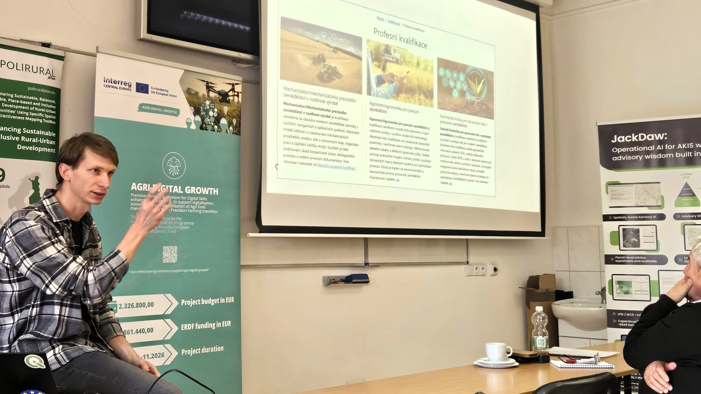
The Agri-Digital Growth Living Lab coordinated by Plan4all in the Czech Republic explored how artificial intelligence could make agricultural geospatial data easier to use. Working with farmers, researchers, technology providers and advisory organisations, including WirelessInfo and Lesprojekt-služby, the Living Lab tested tools that allow users to explore geographic information through maps and questions written in everyday language.
At the centre of the work was JackDaw, a geospatial assistant powered by a large language model. Users can select or draw an area on a map and ask questions about it. The platform uses the geographic area and time references associated with the request to retrieve relevant information and produce a response tied to the selected location.
JackDaw connects AI tools with geographic information systems and data sources that include satellite observations, sensor information, administrative statistics and agricultural datasets. Its analytical functions support the interpretation of vegetation indices, environmental conditions and land use, with results presented through maps, tables, dashboards and graphs.
The platform also draws on written sources, including legislation, methodological guidance and technical documentation. Combining geographic analysis with relevant reference material can help agricultural advisors examine the conditions in an area alongside the guidance and requirements that may apply.
Farmers and agricultural organisations helped shape the work from its early stages. Consultations with the Small Farmers Association and the Agricultural Union of the Czech Republic identified training needs and gaps in the use of digital technologies. Further exchanges helped define practical requirements for the tools, while workshops introduced farmers to their use.
Testing continued through repeated rounds of feedback and development. Participants’ comments informed improvements to the way JackDaw interprets farm-related information and displays its results. The map interface also supported collaborative work, allowing users to annotate geographic features and discuss the information shown in different data layers.
Connecting different sources remained a technical challenge. Satellite imagery, sensor readings and farm management systems vary in their formats and structure, while users bring different levels of digital experience. Simplifying the interface and adapting training to practical agricultural needs were therefore part of the development process.
The Living Lab shared its work through events including the Smart Countryside seminar at Země živitelka 2025 and Prague GeoAI Week. International exchanges included presentations of JackDaw to European institutions and a consultation with Eurostat, extending discussion of the platform beyond its agricultural testing environment.
As part of the Agrihub.cz innovation network, the Living Lab provides a setting for continued cooperation, training and tool development. Further work will focus on testing JackDaw in operational environments and strengthening links with agricultural advisory services and Digital Innovation Hubs. The methods developed also offer scope for applications in water management, environmental monitoring and climate adaptation.
Through the Living Lab, Plan4all examined how people could work more directly with geographic data: choosing an area, asking a question and exploring the information behind the answer. Continued testing with farmers and advisors will help establish how this approach can support everyday agricultural decisions.