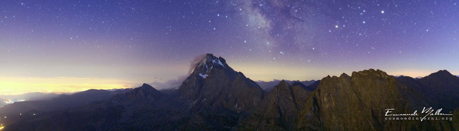
Across Central Europe, artificial light at night is increasingly threatening ecosystems, biodiversity, and even human health. The DARKERSKY4CE project—funded by the Interreg CENTRAL EUROPE Programme—has developed an innovative, data-driven solution to measure, monitor, and communicate the impacts of light pollution. The new framework, “Dark Skies in Peripheral Areas: Solutions to Convey Their Value”, marks a major step toward protecting the ecological and cultural importance of darkness.
From Data to Awareness
The project has created a comprehensive Repository that brings together for the first time both quantitative and qualitative data on light pollution across Central Europe.
- Quantitative data come from the Photometer Network, a system of newly acquired and existing instruments that measure night sky brightness.
- Qualitative data are collected through the Dynamic Monitoring Tool (DMT)—a set of surveys, social media initiatives, and desk research activities that capture people’s awareness, perceptions, and behaviours related to artificial light at night.
By integrating these two approaches, the Repository becomes a transnational hub that helps scientists, local authorities, and citizens better understand how light pollution affects both the environment and communities.
One of the project’s most powerful outputs is the Ecosystem Services GIS Map, which visually connects light pollution levels with ecological, social, and economic data.
The interactive map—available in all project languages—highlights both dark sky areas that offer ecosystem services (such as biodiversity conservation, carbon storage, or cultural value) and regions with excessive light emissions that need urgent attention.
This tool supports sustainable land-use planning by allowing decision-makers to identify priority zones for protection or intervention and by promoting balanced development strategies that respect the night environment.
The DARKERSKY4CE Repository and its GIS Map are designed to serve a wide audience:
- Researchers and environmental professionals can use the datasets to analyse long-term trends.
- Local administrators can plan regulations and investments for sustainable lighting.
- Citizens and educators can learn how their everyday choices influence the quality of the night sky.
Measuring and Monitoring Change
The methodology developed within DARKERSKY4CE provides guidance on how to:
- Measure light pollution using consistent scientific standards, bridging the gap between ground-based and satellite data.
- Monitor public awareness through recurring surveys among citizens, schools, and local authorities.
- Communicate results in an accessible way, linking complex data to real-life impacts on ecosystems and human well-being.
The project also demonstrates how quantitative trends—such as increases or decreases in light intensity detected via the VIIRS satellite—and qualitative shifts—such as growing public understanding—can be used together to shape more effective policies.
Engaging Communities through Communication
For DARKERSKY4CE, communication is more than dissemination—it’s participation.
Through the Call-to-Action initiative, the project uses social media quizzes, challenges, and creative content like playlists and ASMR videos to inspire people to “look up” and rediscover the value of darkness.
Partnerships with international events such as International Dark Sky Week and M’illumino di Meno help amplify this message: protecting the night sky is not just a scientific goal, but a shared cultural mission.
By weaving together scientific precision and participatory engagement, DARKERSKY4CE transforms light pollution from an abstract environmental issue into a tangible, shared responsibility.