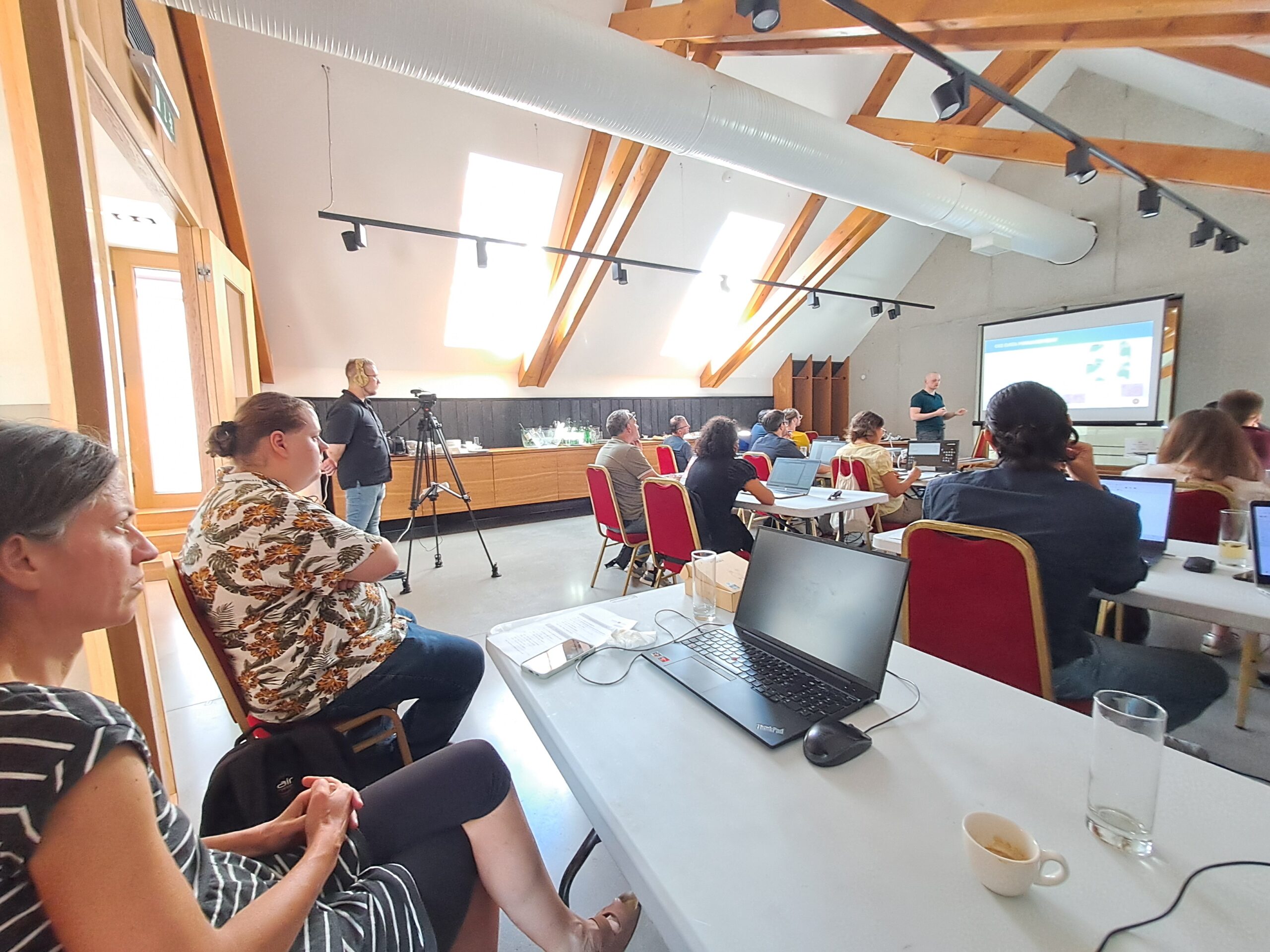
Last week, we had the pleasure of organizing and participating in a three-day GIS training programme in Budakalász, Hungary, aimed at strengthening practical competencies in geospatial data management, analysis, and visualization.
Over the course of nine expert-led sessions, participants explored a wide range of hands-on topics, including:
Open spatial data sources and formats
GIS data structuring and management principles
Geoprocessing workflows and spatial calculations
Map generalisation and cartographic techniques
Visual analytics, heat maps, and zoning practices
We extend our sincere thanks to all the participants, the dedicated trainers from GeoX, and our excellent host KTI – Hungarian Institute for Transport Sciences and Logistics for making this event a true success.
We look forward to continuing our knowledge exchange and advancing the use of geospatial tools in the field of spatial planning and public transport development.