
Project overview
streNgthening pUblic TranSport to enHance accEssibility in ruraL centraL Europe
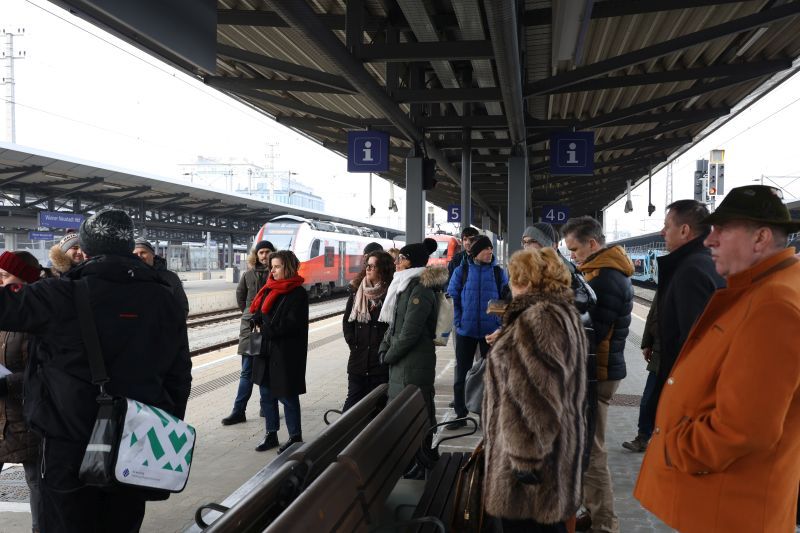
Transport policy in rural areas is still too often focused on cars. To reduce land use for streets and offer more sustainable mobility options, the NUTSHELL@CE project will transform transport planning in these areas. Partners from eight countries work towards a public transport system that is based on integrated spatial and transport planning. This new approach will increase flexibility, offer better access to transport corridors, harmonise timetables, and improve transport links in rural areas. Concretely, the project develops regional action plans, joint pilot actions, and a transnational competence centre.
-
2,25m €
-
Project Budget
-
80%
-
of the Budget is funded by ERDF
-
8
-
Countries
-
9
-
Regions
-
12
-
Partners
-
3
-
Pilots
Duration
Start date
End date
Project progress
About the project
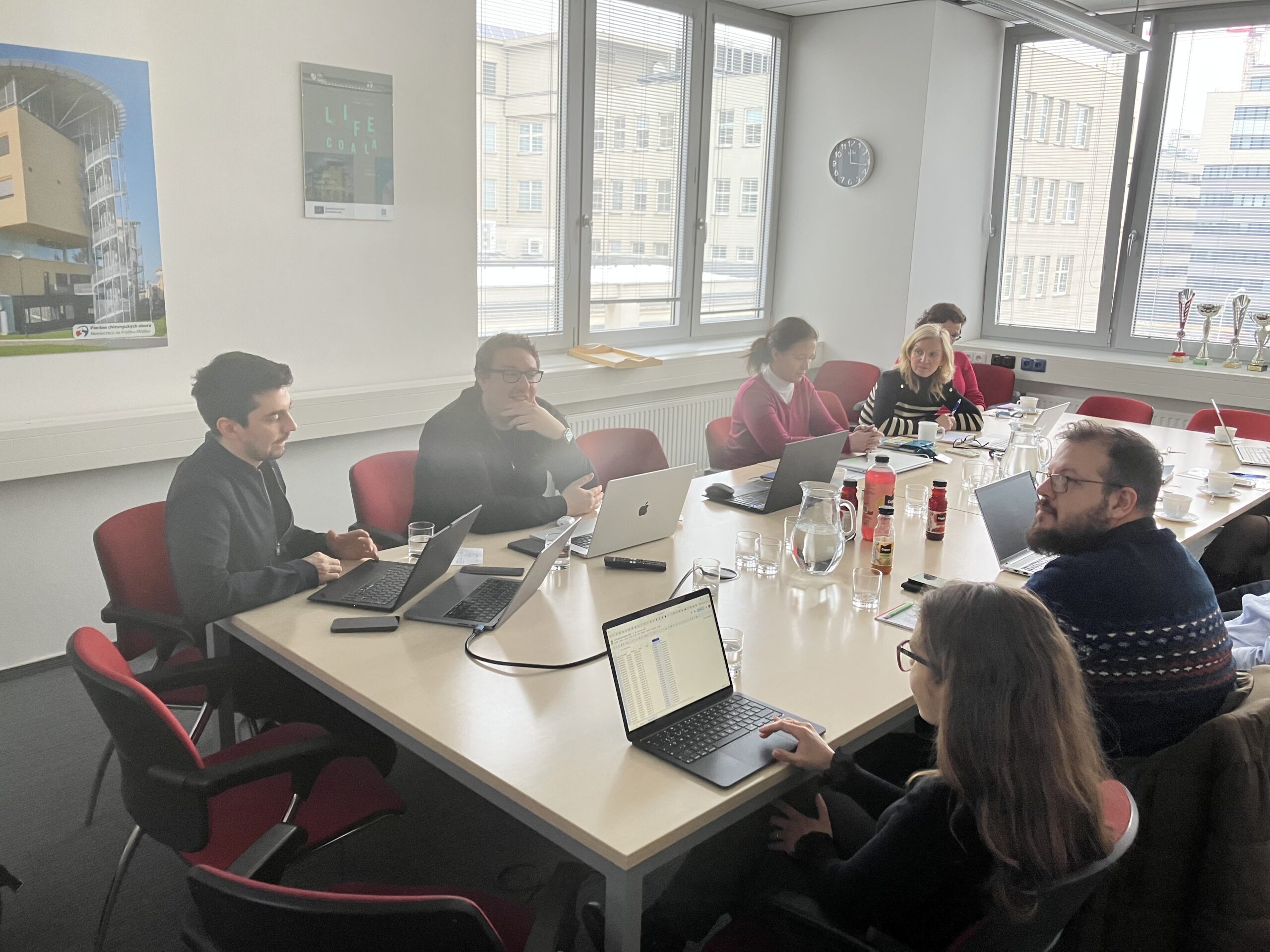
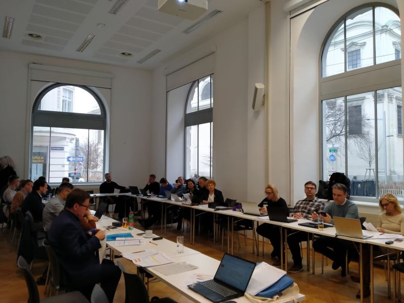
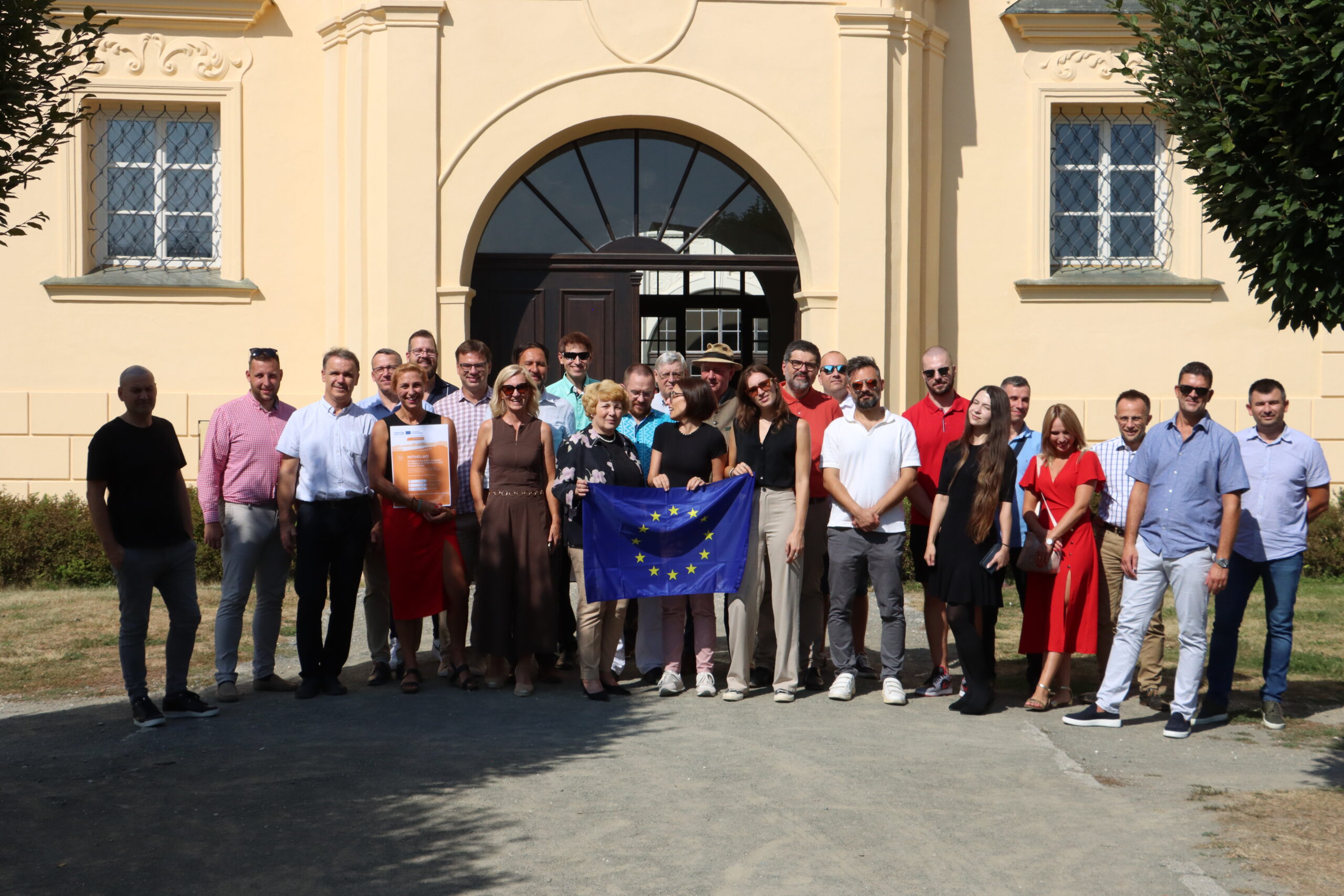
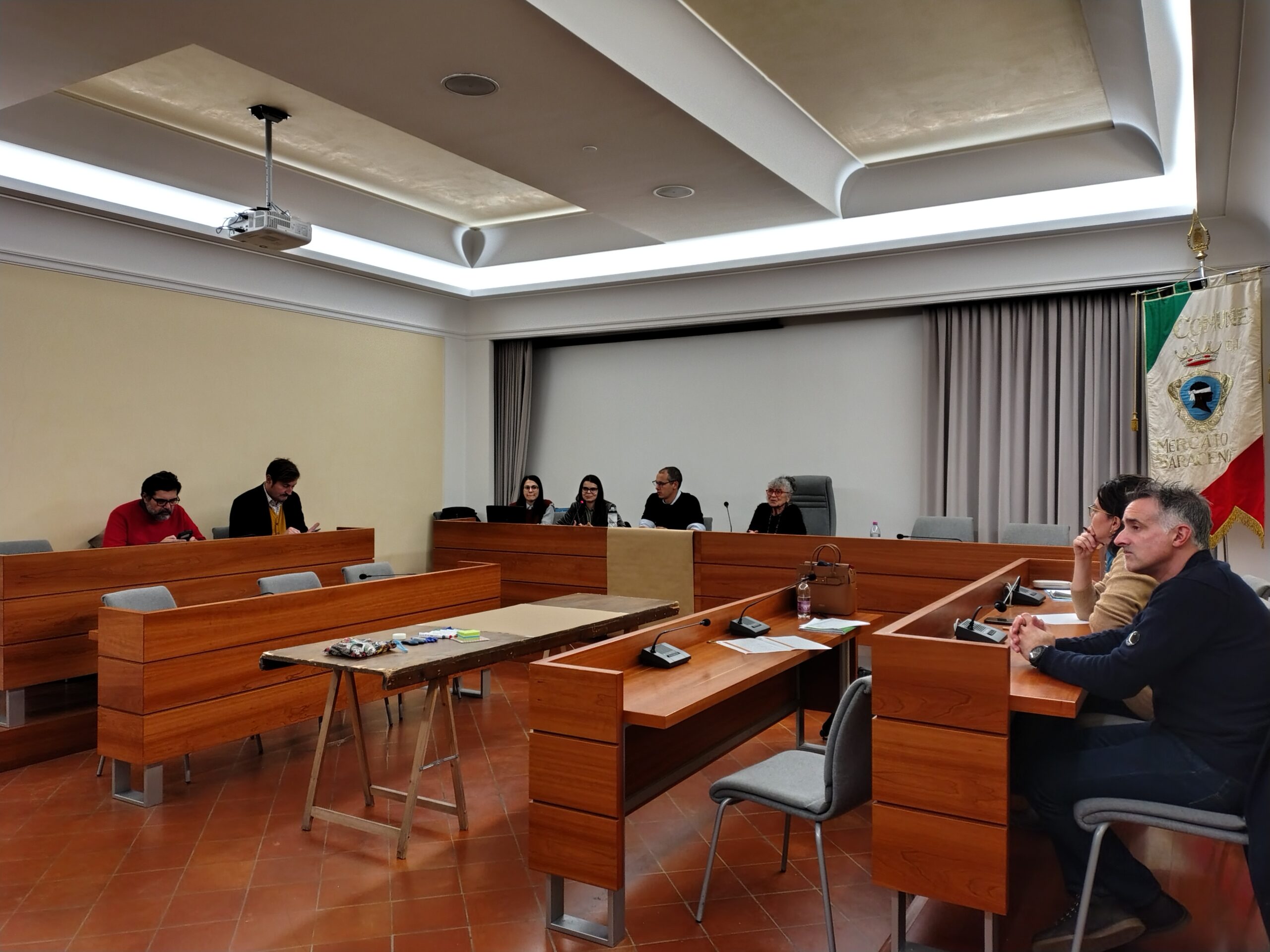
Project partnership
Project partners

Lead partner
Union of Municipalities of the Savio Valley River
Project partner
Research Unit Transport Planning and Traffic Engineering
Regional Development and International Cooperation Department
Research Centre for Transport Development
Department of Transportation
99330 Crawinkel
Department of transport infrastructure
Roadmap
Territorial challenges identified

Public transport needs to be a backbone for sustainable transport not only in cities but in rural and peripheral regions. To this end, we will focus on following three PT related specific challenges in Central Europe: A) Integrated multimodal access to main public transport corridors, B) Systematization of rural/regional PT services with network-wide clock face timetable, C) Bridging the gap of Public transport missing links and incoherent catchment areas.
Laying the Groundwork for Data driven based solutions

Enhancing technical and policy-making capacities of regional and local authorities towards integration of spatial and transport planning in rural and peripheral areas, technically supported by data and evidence managed with geographic information systems and for policy-making goal-oriented manner.
Vision Co-creation

Engagement of local and regional stakeholders in shaping the project’s strategic vision, ensuring that their needs and insights directly influence policy and planning. It seeks to manifest a policy vision around the use of geo-spatial data for integrated land-use and public transport planning, promoting evidence-based policymaking and goal-oriented approaches, as opposed to wishful, top-down solutions.
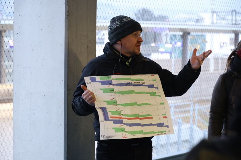
Piloting with precision

Comprehensive planning and implementation of three key solutions to evaluate their potentials, limitations, and localization needs. The pilot actions are organized into three thematic clusters: Cluster A explores feeder access to existing public transport corridors, Cluster B aims to systematize the timetable of public transport services, and Cluster C addresses missing links and catchment areas in the public transport network. These clusters will provide valuable insights into real-world applications, allowing for fine-tuning and customization of solutions for specific local contexts.
From Data to Decisions

Transnational Strategy (TS) as guidance for : a. knowledge providers for future R&D agenda to improve rural mobility; b. further policymaking: local governmentlals and/or regional development agencies. Solutions taken up or up-scaled : PTSQC / planning and analysis tool Feeder access to public transport corridor in rural area / key measure of rural mobility hub for uptake in rural CE area Timetable systematization / long-term planning methodology coupled with concrete actions for uptake by small railway networks in CE PT coverage and missing links /PTSQC oriented planning approach with different measures and evidence about their effect.
News


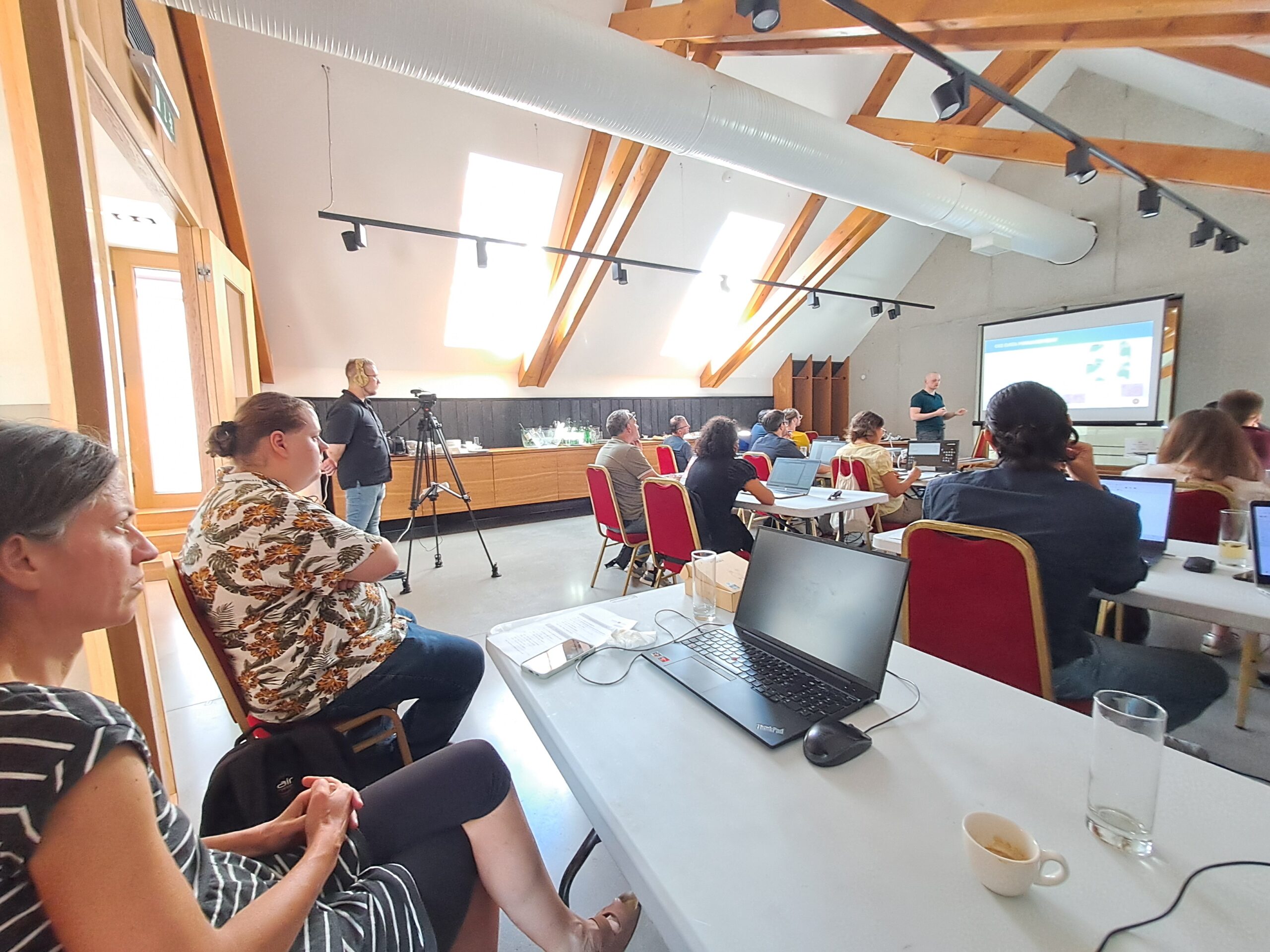
Events
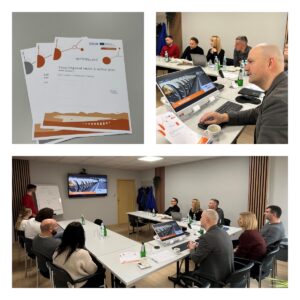
Pilot actions
Outputs
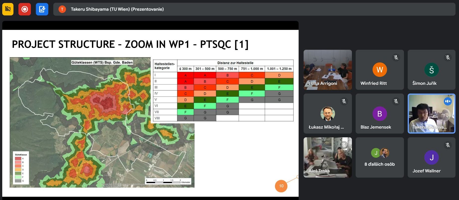
1.3 Solution and planning tool PTSQC
2.1 Transanational strategy for integrated transport and spatial planning for rural and peripheral regions
2.2 Regional action plans for integrated transport and spatial planning for regions 1-7
3.1 Pilot Action: Feeder access to existing public transport corridors
3.2 Pilot actions: Timetable systematization of public transport services
3.3 Pilot actions: Public transport missing links & catchment areas
3.4 Solution: Public transport missing links & catchment areas
3.5 Solution: Timetable systematization of public transport services
3.6 Solution: Public transport missing links & catchment areas
NUTSHELL@CE
The project lead partner is responsible for the content of this project website.